Kampung Gaya
| Kampung Gaya | |
|---|---|
 Kampung Gaya | |
| Coordinates: 4°50′00″N 115°24′00″E / 4.83333°N 115.4°E | |
| Country |
|
| State |
|
| Administrative Division | Lawas |
| Elevation | 100 m (300 ft) |
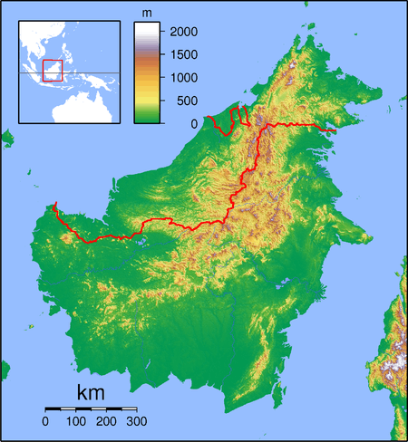
Kampung Gaya is a settlement in the Lawas division of Sarawak, Malaysia.[1][2] It lies approximately 669.1 kilometres (416 mi) east-north-east of the state capital Kuching.
Neighbouring settlements include:
- Lawas 1.9 kilometres (1.2 mi) north
- Kampung Lawas 2.6 kilometres (1.6 mi) northeast
- Kampung Sitakong 2.6 kilometres (1.6 mi) northeast
- Long Tuma 3.7 kilometres (2.3 mi) south
- Kampung Surabaya 5.2 kilometres (3.2 mi) northeast
- Kampung Pangaleh 5.8 kilometres (3.6 mi) east
- Long Sabuloh 7.4 kilometres (4.6 mi) south
- Kampung Melipat 7.4 kilometres (4.6 mi) north
- Kampung Sulai 7.9 kilometres (4.9 mi) northwest
- Punang 9.3 kilometres (5.8 mi) northwest
References
- ↑ M. Mohizah, S. Julia and W. K. Soh (2006). A Sarawak Gazetteer (PDF). Kuala Lumpur: Sarawak Forestry Department Malaysia and Forest Research Institute Malaysia. ISBN 9832181860. OCLC 85818866. Archived from the original (PDF) on 2011-07-22. Retrieved 2011-01-01.
- ↑ "Kampung Gaya, Malaysia". Geonames. 1994-02-10. Retrieved 2010-12-27.
This article is issued from
Wikipedia.
The text is licensed under Creative Commons - Attribution - Sharealike.
Additional terms may apply for the media files.