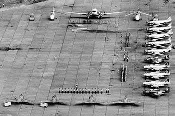
Kamina Air Base
| Kamina Air Base | |||||||||||||||
|---|---|---|---|---|---|---|---|---|---|---|---|---|---|---|---|
 | |||||||||||||||
| Summary | |||||||||||||||
| Airport type | Military | ||||||||||||||
| Operator | Air Force of the Democratic Republic of the Congo | ||||||||||||||
| Location | Kamina, Democratic Republic of the Congo | ||||||||||||||
| Elevation AMSL | 3,543 ft / 1,080 m | ||||||||||||||
| Coordinates | 08°38′31″S 025°15′10″E / 8.64194°S 25.25278°E | ||||||||||||||
| Runways | |||||||||||||||
| |||||||||||||||
|
Sources: [1] | |||||||||||||||
Kamina Air Base (ICAO: FZSA) is a military airport located near Kamina in the Democratic Republic of the Congo.[1]
Facilities
The airport resides at an elevation of 3,543 feet (1,080 m) above mean sea level. It has two runways, each with an asphalt surface measuring 2,700 by 45 metres (8,858 ft × 148 ft).[1]
See also
References
- 1 2 3 Airport information for FZSA from DAFIF (effective October 2006)
This article is issued from
Wikipedia.
The text is licensed under Creative Commons - Attribution - Sharealike.
Additional terms may apply for the media files.