Kalteiche
| Kalteiche | |
|---|---|
.JPG) The Kalteiche seen from Wilden (Jun 2007); clearly visible is the windthrow after Hurricane Kyrill (Jan 07) | |
| Highest point | |
| Elevation | 579.9 m above sea level (NHN) (1,903 ft) [1] |
| Coordinates | 50°48′00″N 8°08′09″E / 50.800056°N 8.135972°ECoordinates: 50°48′00″N 8°08′09″E / 50.800056°N 8.135972°E |
| Geography | |
 Kalteiche | |
| Parent range | Rothaar |
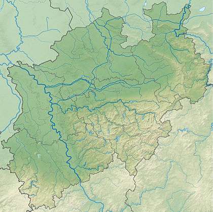
The Kalteiche near Wilgersdorf is a hill, 579.9 m above sea level (NHN),[1] in the German state of North Rhine-Westphalia. It lies within the county of Siegen-Wittgenstein and is one of the higher summits in the Rothaar Mountains and the highest point in the municipality of Wilnsdorf.
References
This article is issued from
Wikipedia.
The text is licensed under Creative Commons - Attribution - Sharealike.
Additional terms may apply for the media files.