Kaffiøyra
| Kaffiøyra | |
|---|---|
| Coastal plain | |
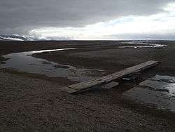 Kaffiøyra viewed from the Nicolaus Copernicus University Polar Station | |
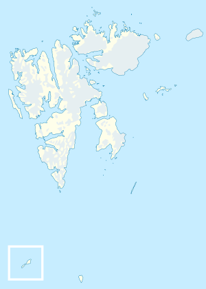 Location in Svalbard | |
| Coordinates: 78°38′N 11°59′E / 78.64°N 11.98°ECoordinates: 78°38′N 11°59′E / 78.64°N 11.98°E | |
| Country | Norway |
| Archipelago | Svalbard |
Kaffiøyra (Coffee Plain) is a coastal plain in Oscar II Land at Spitsbergen, Svalbard.
The plain has a length of about thirteen kilometers, extending from Aavatsmarkbreen southwards to Oliverbreen.[1] Kaffiøyra is crossed by several brooks originating from glaciers,[1] including Øyrnesbekken which flows from Irenebreen to Øyrnes.[2] Among headlands along the plain are Snipeodden, Øyrnes, Tjørnnes and Snippen.[3][4][5][6]
The Nicolaus Copernicus University Polar Station, a base for research in climatology, glaciology, hydrology and geomorphology, is located in the northern part of the plain.[7]
References
- 1 2 "Kaffiøyra (Svalbard)". Norwegian Polar Institute. Retrieved 29 November 2013.
- ↑ "Øyrnesbekken (Svalbard)". Norwegian Polar Institute. Retrieved 29 November 2013.
- ↑ "Snipeodden (Svalbard)". Norwegian Polar Institute. Retrieved 29 November 2013.
- ↑ "Øyrnes (Svalbard)". Norwegian Polar Institute. Retrieved 29 November 2013.
- ↑ "Tjørnnes (Svalbard)". Norwegian Polar Institute. Retrieved 29 November 2013.
- ↑ "Snippen (Svalbard)". Norwegian Polar Institute. Retrieved 29 November 2013.
- ↑ "Nicolaus Copernicus University Polar Station, Kaffiøyra (NW Spitsbergen)". Nicolaus Copernicus University. Retrieved 29 November 2013.
This article is issued from
Wikipedia.
The text is licensed under Creative Commons - Attribution - Sharealike.
Additional terms may apply for the media files.