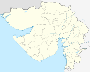
Kadana
| Kadana | |
|---|---|
 Kadana  Kadana | |
| Coordinates: 23°17′23″N 73°50′18″E / 23.289678°N 73.838355°ECoordinates: 23°17′23″N 73°50′18″E / 23.289678°N 73.838355°E | |
| Country |
|
| State | Gujarat |
| District | Mahisagar |
| Elevation | 108.848 m (357.113 ft) |
| Languages | |
| • Official | Gujarati, Hindi, |
| Time zone | UTC+5:30 (IST) |
| PIN | 389 240 |
| Telephone code | (91) 2675 |
| Vehicle registration | GJ-17/GJ-35 |
| Legislature type | Gram Panchayat |
| Lok Sabha constituency | Dahod |
| Vidhan Sabha constituency | Santrampur |
| Climate | Tropical savanna (Köppen: Aw) |
Kadana is a village and a Tehsil in Mahisagar district in the Indian state of Gujarat. It is situated on the riverbank of Mahi River. Kadana is the site of the Kadana Dam, which generates 240 MW of hydroelectric power. The dam was built between 1979 and 1989 and is a part of Santrampur (Vidhan Sabha constituency). The construction of a new bridge over the Mahi river, near to the dam, started at the end of 2016.
Geography
Kadana alongside Santrampur located south,west side Khanpur,east side Fatehpura,North side Simalwara.
•Lunawada,Sagwara, Modasa & Godhra are big cities around kadana.
Demographics
As of 2011 India census,[1] Kadana has a population of 1,10,389,which lives in 19,815 houses.In which 56,643 are males and 53,746 are females. Kadana consists 322 villages & sub- villages & 38 panchyats.
Attractions
- Kadana Dam
- Eklingji Mahadev Temple(located in Thakor na nathra village)
- Nadinath Mahadev Temple(located in Ghodiyaar village)
References
- ↑ "Census of India 2001: Data from the 2001 Census, including cities, villages and towns (Provisional)". Census Commission of India. Archived from the original on 2004-06-16. Retrieved 2008-11-01.