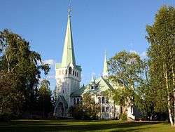
Jokkmokk
| Jåhkåmåhkke/Jokkmokk | |
|---|---|
 | |
 Jåhkåmåhkke/Jokkmokk 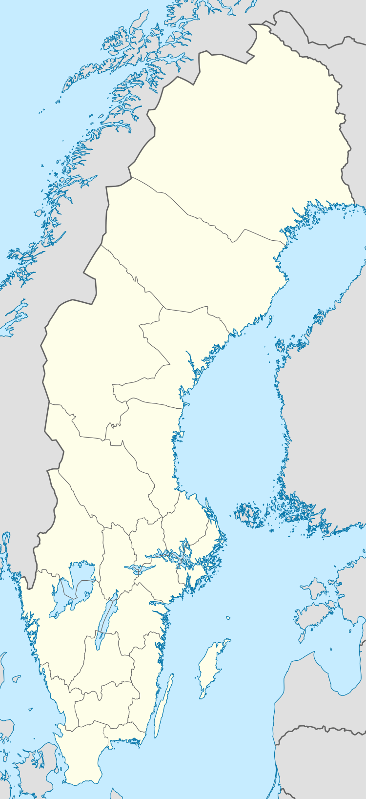 Jåhkåmåhkke/Jokkmokk | |
| Coordinates: 66°37′N 19°50′E / 66.617°N 19.833°ECoordinates: 66°37′N 19°50′E / 66.617°N 19.833°E | |
| Country | Sweden |
| Province | Lapland |
| County | Norrbotten County |
| Municipality | Jokkmokk Municipality |
| Area[1] | |
| • Total | 3.59 km2 (1.39 sq mi) |
| Population (31 December 2010)[1] | |
| • Total | 2,786 |
| • Density | 776/km2 (2,010/sq mi) |
| Time zone | UTC+1 (CET) |
| • Summer (DST) | UTC+2 (CEST) |
Jokkmokk (Lule Sámi: Jåhkåmåhkke or Dálvvadis; Northern Sámi: Dálvvadis; Finnish: Jokimukka) is a locality and the seat of Jokkmokk Municipality in Norrbotten County, province of Lapland, Sweden, with 2,786 inhabitants in 2010.[1] The Sámi name of the place means "River's Curve," due to the meandering river that runs through it. It is just north of the Arctic Circle.
Jokkmokk was a transit center for Sami refugees from Norway during World War II, in addition to the center in Kjesäter.
Jokkmokk Market has been taking place for more than 400 years. On the first Thursday in February every year, thousands of people gather in the town for concerts, exhibitions and trade, in one of the most important social events for the Sámi people in Sápmi. Temperatures during the festival can drop as low as −40°.
Ájtte, Svenskt fjäll- och samemuseum is the main museum for Sámi culture in Sweden.
Climate
Influenced by its inland and northerly position, Jokkmokk's variety of a subarctic climate is very cold by Swedish standards. Summers are normally relatively mild in spite of the day-round light and the dark winters are long and cold.
| Climate data for Jokkmokk, 1971-2000 | |||||||||||||
|---|---|---|---|---|---|---|---|---|---|---|---|---|---|
| Month | Jan | Feb | Mar | Apr | May | Jun | Jul | Aug | Sep | Oct | Nov | Dec | Year |
| Record high °C (°F) | 9.2 (48.6) |
8.1 (46.6) |
12.3 (54.1) |
19.2 (66.6) |
28.5 (83.3) |
31.2 (88.2) |
34.5 (94.1) |
30.5 (86.9) |
23.2 (73.8) |
18.5 (65.3) |
10.8 (51.4) |
7.5 (45.5) |
34.5 (94.1) |
| Average high °C (°F) | −9.3 (15.3) |
−7.7 (18.1) |
−1.8 (28.8) |
3.5 (38.3) |
10.5 (50.9) |
16.5 (61.7) |
19.2 (66.6) |
16.3 (61.3) |
10.3 (50.5) |
3.3 (37.9) |
−4.6 (23.7) |
−8.2 (17.2) |
4 (39.2) |
| Daily mean °C (°F) | −14.8 (5.4) |
−12.9 (8.8) |
−7.5 (18.5) |
−1.2 (29.8) |
5.6 (42.1) |
11.8 (53.2) |
14.5 (58.1) |
11.9 (53.4) |
6.4 (43.5) |
0.2 (32.4) |
−8.4 (16.9) |
−13.2 (8.2) |
−0.6 (30.9) |
| Average low °C (°F) | −20.2 (−4.4) |
−18.4 (−1.1) |
−13.4 (7.9) |
−6.3 (20.7) |
0.4 (32.7) |
6.9 (44.4) |
9.8 (49.6) |
7.8 (46) |
2.8 (37) |
−3.0 (26.6) |
−12.6 (9.3) |
−18.1 (−0.6) |
−5.4 (22.3) |
| Record low °C (°F) | −46.0 (−50.8) |
−42.6 (−44.7) |
−36.8 (−34.2) |
−29.0 (−20.2) |
−14.5 (5.9) |
−5.5 (22.1) |
0.4 (32.7) |
−4.0 (24.8) |
−12.0 (10.4) |
−24.6 (−12.3) |
−35.5 (−31.9) |
−41.0 (−41.8) |
−46 (−50.8) |
| Average precipitation mm (inches) | 31.4 (1.236) |
21.8 (0.858) |
24.3 (0.957) |
22.3 (0.878) |
37.0 (1.457) |
57.7 (2.272) |
84.3 (3.319) |
69.3 (2.728) |
45.0 (1.772) |
40.3 (1.587) |
40.0 (1.575) |
30.6 (1.205) |
504 (19.844) |
| Source: [2] | |||||||||||||
References
| Wikimedia Commons has media related to Jokkmokk. |
- 1 2 3 "Tätorternas landareal, folkmängd och invånare per km2 2005 och 2010" (in Swedish). Statistics Sweden. 14 December 2011. Archived from the original on 10 January 2012. Retrieved 10 January 2012.
- ↑ "SMHI". Archived from the original on 2013-10-20.
External links
Municipalities and seats of Norrbotten County | ||
|---|---|---|
| Municipalities | ||
| Municipal seats | ||