Johan Pienaar Airport
| Johan Pienaar Airport | |||||||||||
|---|---|---|---|---|---|---|---|---|---|---|---|
| Summary | |||||||||||
| Airport type | Public | ||||||||||
| Serves | Kuruman, South Africa | ||||||||||
| Elevation AMSL | 4,382 ft / 1,336 m | ||||||||||
| Coordinates | 27°27′24″S 023°24′41″E / 27.45667°S 23.41139°ECoordinates: 27°27′24″S 023°24′41″E / 27.45667°S 23.41139°E | ||||||||||
| Map | |||||||||||
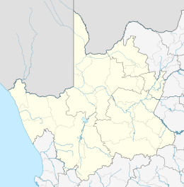 KMH Location in the Northern Cape  KMH KMH (South Africa) | |||||||||||
| Runways | |||||||||||
| |||||||||||
Johan Pienaar Airport (IATA: KMH, ICAO: FAKU) is an airport serving Kuruman, a town in Northern Cape province, South Africa.[1][2]
References
- 1 2 Airport information for FAKU at World Aero Data. Data current as of October 2006.Source: DAFIF.
- 1 2 Airport information for KMH at Great Circle Mapper. Source: DAFIF (effective October 2006).
External links
This article is issued from
Wikipedia.
The text is licensed under Creative Commons - Attribution - Sharealike.
Additional terms may apply for the media files.