Jikata, Niger
| Jikata | |
|---|---|
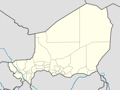 Jikata Location of Jikata | |
| Coordinates: 13°38′0″N 7°50′0″E / 13.63333°N 7.83333°ECoordinates: 13°38′0″N 7°50′0″E / 13.63333°N 7.83333°E | |
| Country | Niger |
| Region | Maradi Department |
| Department | Tessaoua Department |
| Commune | Jikata |
| Elevation | 419 m (1,377 ft) |
Jikata is a town in Tessaoua Department, Maradi Department, Niger. Lying almost halfway between Aguie (24km to its southwest) and Tessaoua (to its northeast), the town is well off the major autoroute running between the two cities.
Since the late 1990s, Jikata, along with the neighboring towns of Dourgou and Guidan Bakoye, has been the site of an international anti-erosion and anti-desertification initiative.[1]
References
- ↑ Etude sahélienne: Les Projets De Restauration Des Ressources Naturelles Et La Fertilite Des Sols. Dr. Guéro Yadji, Dr. Dan Lamso Nomaou. Centre Regional D’Enseignement Specialise En Agriculture (Niamey) March 2006.
This article is issued from
Wikipedia.
The text is licensed under Creative Commons - Attribution - Sharealike.
Additional terms may apply for the media files.