Gabal Hagar El Zarqa
| Gabal Hagar El Zarqa | |
|---|---|
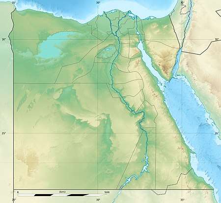 Jebel Hagar ez Zarqa Location in Bir Tawil | |
| Highest point | |
| Elevation | 662 m (2,172 ft) |
| Coordinates | 21°53′00″N 33°58′00″E / 21.88333°N 33.96667°ECoordinates: 21°53′00″N 33°58′00″E / 21.88333°N 33.96667°E |
Gabal Hagar El Zarqa (Arabic: جَـبَـل حَـجَـر الـزَّرْقَـاء, translit. Jabal Ḥajar az-Zarqā’)[1] is the highest point in Bir Tawil, an unclaimed area in the Nubian desert between Egypt and Sudan[2] in Northeast Africa. Due to a long-standing disagreement over the location of that border, its jurisdiction is unclear; it is said by the National Geospatial-Intelligence Agency to be in Egypt.[3] In December 2017 British mountaineer Ginge Fullen accompanied by a local guide summited a point 400 m (1,300 ft) to the east of the waypoint listed on the right, recording a height of 716 m (2,349 ft) at N21 53'01 E33 58'13.
See also
References
- ↑ "Jabal hajar az zarqa'". Tageo.com. Retrieved 2018-04-08.
- ↑ Mahir, M. "J is for Jebel Hagar – Christmas in No Man's Land". Sahara_overland.com. Retrieved 2018-04-08.
- ↑ "Jebel Hagar ez Zarqa: Egypt". Geographical Names. 8 December 1993. Retrieved 24 December 2013.
This article is issued from
Wikipedia.
The text is licensed under Creative Commons - Attribution - Sharealike.
Additional terms may apply for the media files.