Jayal
| Jayal जायल | |
|---|---|
| Town | |
| Nickname(s): Jael | |
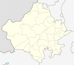
 Jayal Location in Rajasthan, India  Jayal Jayal (India) | |
| Coordinates: 27°13′00″N 74°11′00″E / 27.2167°N 74.1833°ECoordinates: 27°13′00″N 74°11′00″E / 27.2167°N 74.1833°E | |
| Country |
|
| State | [[Rajasthan]ist of districts of India|District]] |
| Government | |
| • Type | Gram Panchayat |
| Elevation | 296 m (971 ft) |
| Population (2011) | |
| • Total | 17,000 |
| Languages | |
| • Official | Hindi |
| Time zone | UTC+5:30 (IST) |
| Area code(s) | 911583 |
| Vehicle registration | RJ21 |
| Spoken languages | Hindi, Rajasthani, |
Jayal is a census town in the Nagaur district of Rajasthan state. The town is located 50 km away from Nagaur.
Geography
Jayal is located at 27°13′00″N 74°11′00″E / 27.2167°N 74.1833°E.[1] It has an average elevation of 296 metres (974 feet).
Demographics
As of 2001 India census,[2] Jayal had a population of 12,218. Males constitute 6,258 of the population and females 5,960.
Villages in Jayal tehsil
References
- ↑ Falling Rain Genomics, Inc - Jayal
- ↑ "Census of India 2001: Data from the 2001 Census, including cities, villages and towns (Provisional)". Census Commission of India. Archived from the original on 2004-06-16. Retrieved 2008-11-01.
This article is issued from
Wikipedia.
The text is licensed under Creative Commons - Attribution - Sharealike.
Additional terms may apply for the media files.