Jajja Khurd
| Jajja Khurd ਜੱਜਾ ਖ਼ੁਰਦ | |
|---|---|
| Village | |
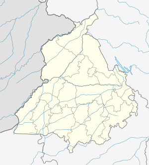
 Jajja Khurd Location in Punjab, India  Jajja Khurd Jajja Khurd (India) | |
| Coordinates: 31°05′02″N 75°50′55″E / 31.0838621°N 75.8487403°ECoordinates: 31°05′02″N 75°50′55″E / 31.0838621°N 75.8487403°E | |
| Country |
|
| State | Punjab |
| District | Jalandhar |
| Tehsil | Phillaur |
| Elevation | 246 m (807 ft) |
| Population (2011) | |
| • Total | 959[1] |
| Languages | |
| • Official | Punjabi |
| • Other spoken | Hindi |
| Time zone | UTC+5:30 (IST) |
| PIN | 144418 |
| Telephone code | 01826 |
| ISO 3166 code | IN-PB |
| Vehicle registration | PB 37 |
| Website |
jalandhar |
Jajja Khurd is a village (Pind) 2 km from the market town of Apra and within close proximity of Phagwara, Phillaur, Goraya and Banga. It is within the Doaba region of Punjab in India in the Jalandhar district, close to the boundary of Nawanshahr district. There is a majority of Sandhu/Garcha/Maan Jats residing in the village. A large Gurudwara (Sikh Temple) is present as you enter Jajja from Apra.[2][3]
The closest train station is situated 8 km away in the town of Goraya.
People of Jajja Khurd
The people of Jajja Khurd are considered by many as traditional Jat Sikhs, they are known to be very conservative in their values and although a large percentage of the population has emigrated to the UK, the US and Canada; they tend not adopt western culture fully i.e. continue the tradition of arranged marriage, females tend not consume alcohol as per traditional Sikh/Punjabi values. The current sarpanch (village chief) of the pind is Gurdial Singh s/o Ajit Singh gs/o Bhulla Singh Garcha.
References
- ↑ "Jajja Khurd Population Census 2011". census2011.co.in.
- ↑ Jaja Khurd at Mypind.com
- ↑ wikimapia.org Search of Garcha