Jach'a Ch'ankha
| Jach'a Ch'ankha | |
|---|---|
 Jach'a Ch'ankha Location in Bolivia | |
| Highest point | |
| Elevation | 4,345 m (14,255 ft) [1] |
| Coordinates | 17°58′37″S 66°55′48″W / 17.97694°S 66.93000°WCoordinates: 17°58′37″S 66°55′48″W / 17.97694°S 66.93000°W |
| Geography | |
| Location |
Bolivia, Oruro Department |
| Parent range | Andes |
Jach'a Ch'ankha (Aymara jach'a big, great, ch'ankha wool cord,[2] "great cord", also spelled Jachcha Chankha) is a 4,345-metre-high (14,255 ft) mountain in the Andes in Bolivia. It is located in the Oruro Department, Cercado Province, Paria Municipality (formerly Soracachi), 16 km east of Oruro.[3] Jach'a Ch'ankha lies near the villages of Paya Payani in the northeast, Qala Qala in the south and Irsuma in the southwest.
References
- ↑ Bolivian IGM map 1:50,000 Thola Palca 6240-III
- ↑ Radio San Gabriel, "Instituto Radiofonico de Promoción Aymara" (IRPA) 1993, Republicado por Instituto de las Lenguas y Literaturas Andinas-Amazónicas (ILLLA-A) 2011, Transcripción del Vocabulario de la Lengua Aymara, P. Ludovico Bertonio 1612 (Spanish-Aymara-Aymara-Spanish dictionary)
- ↑ Surakachi Municipality Archived 2016-04-06 at the Wayback Machine.: population data and map
Capital: Oruro | ||
| Provinces | 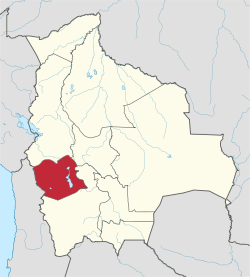 | |
| Municipalities (and seats) |
| |
This article is issued from
Wikipedia.
The text is licensed under Creative Commons - Attribution - Sharealike.
Additional terms may apply for the media files.