Jämijärvi Airfield
| Jämijärvi Airfield Jämijärven lentokenttä | |||||||||||||||
|---|---|---|---|---|---|---|---|---|---|---|---|---|---|---|---|
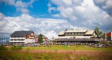 Jämi Fly-in 2008 | |||||||||||||||
| Summary | |||||||||||||||
| Operator | Jämi-säätiö | ||||||||||||||
| Location | Jämijärvi, Finland | ||||||||||||||
| Elevation AMSL | 505 ft / 154 m | ||||||||||||||
| Coordinates | 61°46′43″N 022°42′58″E / 61.77861°N 22.71611°ECoordinates: 61°46′43″N 022°42′58″E / 61.77861°N 22.71611°E | ||||||||||||||
| Map | |||||||||||||||
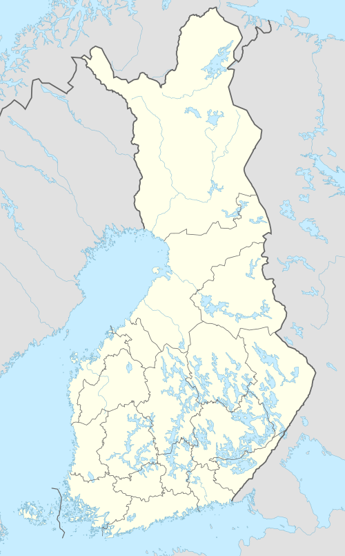 EFJM Location within Finland | |||||||||||||||
| Runways | |||||||||||||||
| |||||||||||||||
|
Source: VFR Finland[1] | |||||||||||||||
Jämijärvi Airfield (ICAO: EFJM) is an airfield in Jämijärvi, Finland,[1] about 7 kilometres (4 mi) south of Jämijärvi municipal centre. It is one of the busiest general aviation airfields in Finland.
A serious aviation accident happened near the airfield in April 2014.
History
Airfield is established in 1935.
See also
References
- 1 2 "Jämijärvi, Finland – EFJM". VFR Suomi / Finland. Vantaa: Finavia. 18 November 2010. Archived from the original on 21 April 2012. Retrieved 28 August 2011.
External links
![]()
This article is issued from
Wikipedia.
The text is licensed under Creative Commons - Attribution - Sharealike.
Additional terms may apply for the media files.