Isla de la Luna
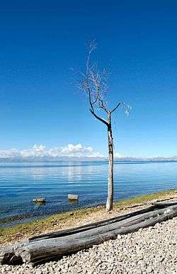
 View of Isla de la Luna from Isla del Sol | |
| Geography | |
|---|---|
| Location | Lake Titicaca |
| Coordinates | 16°02′25″S 69°04′15″W / 16.04028°S 69.07083°WCoordinates: 16°02′25″S 69°04′15″W / 16.04028°S 69.07083°W |
| Area | 1.05 km2 (0.41 sq mi) |
| Coastline | 6 km (3.7 mi) |
| Highest elevation | 3,925 m (12,877 ft) |
| Administration | |
Isla de la Luna (translation: "Island of the Moon") is an island in La Paz Department, Bolivia. It is situated in Lake Titicaca, east of Isla del Sol ("Island of the Sun"). Legends in Inca mythology refer to the island as the location where Viracocha commanded the rising of the moon. Archeological ruins of an Inca nunnery were found on the eastern shore.[1]
References
| Wikimedia Commons has media related to Isla de la Luna, Bolivia. |
This article is issued from
Wikipedia.
The text is licensed under Creative Commons - Attribution - Sharealike.
Additional terms may apply for the media files.