Hurlingham, Gauteng
| Hurlingham | |
|---|---|
 Hurlingham | |
|
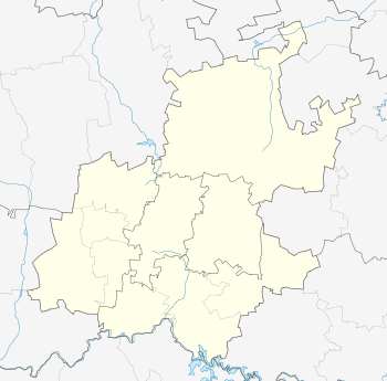
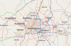
Location within Greater Johannesburg  Hurlingham  Hurlingham Hurlingham (South Africa)  Hurlingham Hurlingham (Africa) | |
| Coordinates: 26°06′14″S 28°01′44″E / 26.104°S 28.029°ECoordinates: 26°06′14″S 28°01′44″E / 26.104°S 28.029°E | |
| Country | South Africa |
| Province | Gauteng |
| Municipality | City of Johannesburg |
| Main Place | Sandton |
| Established | 1938 |
| Area[1] | |
| • Total | 2.76 km2 (1.07 sq mi) |
| Population (2011)[1] | |
| • Total | 3,928 |
| • Density | 1,400/km2 (3,700/sq mi) |
| Racial makeup (2011)[1] | |
| • Black African | 28.6% |
| • Coloured | 2.0% |
| • Indian/Asian | 5.4% |
| • White | 62.4% |
| • Other | 1.5% |
| First languages (2011)[1] | |
| • English | 70.1% |
| • Afrikaans | 7.2% |
| • Zulu | 5.8% |
| • Northern Sotho | 2.6% |
| • Other | 14.3% |
| Time zone | UTC+2 (SAST) |
| Postal code (street) | 2196 |
| PO box | 2070 |
Hurlingham is a suburb of Johannesburg, South Africa. Hurlingham has traditionally been an upmarket residential suburb. This residential suburb is located just outside the Sandton central business district.[2] It is located in Region B of the City of Johannesburg Metropolitan Municipality.
History
The land was proclaimed as a suburb on 25 May 1938 and is named after an English polo-field.[3] The land is situated on a portion of an old Witwatersrand farm called Zandfontein.[3]
References
- 1 2 3 4 "Sub Place Hurlingham". Census 2011.
- ↑ "Hurlingham - Seeff Properties."
- 1 2 Raper, Peter E.; Moller, Lucie A.; du Plessis, Theodorus L. (2014). Dictionary of Southern African Place Names. Jonathan Ball Publishers. p. 1412. ISBN 9781868425501.
This article is issued from
Wikipedia.
The text is licensed under Creative Commons - Attribution - Sharealike.
Additional terms may apply for the media files.