Hundred of Woolundunga
| Woolundunga South Australia | |||||||||||||||
|---|---|---|---|---|---|---|---|---|---|---|---|---|---|---|---|
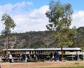 Pichi Richi Railway carriages at Saltia in the northwest of the hundred | |||||||||||||||
 Woolundunga | |||||||||||||||
| Coordinates | 32°32′S 138°01′E / 32.53°S 138.01°ECoordinates: 32°32′S 138°01′E / 32.53°S 138.01°E | ||||||||||||||
| Established | 8 July 1875 | ||||||||||||||
| Area | 410 km2 (157 sq mi) | ||||||||||||||
| County | Frome | ||||||||||||||
| |||||||||||||||
The Hundred of Woolundunga is a cadastral unit of hundred in South Australia spanning Mount Brown Conservation Park and including the localities of Woolundunga and Saltia.[1] It is one of the 14 hundreds of the County of Frome close to the northeast coast of Spencer Gulf.
See also
References
- ↑ "Hundred of Woolundunga". Property Location Browser. Government of South Australia. SA0024695. Retrieved 13 February 2018.
Other Details: Area 157 square miles. Aboriginal for some springs at Mt Brown, also the name of an Aboriginal tribe.
This article is issued from
Wikipedia.
The text is licensed under Creative Commons - Attribution - Sharealike.
Additional terms may apply for the media files.