Huisun Forest Recreation Area
| Huisun Forest Recreation Area Chinese: 惠蓀林場 | |
|---|---|
 Taiwan | |
| Geography | |
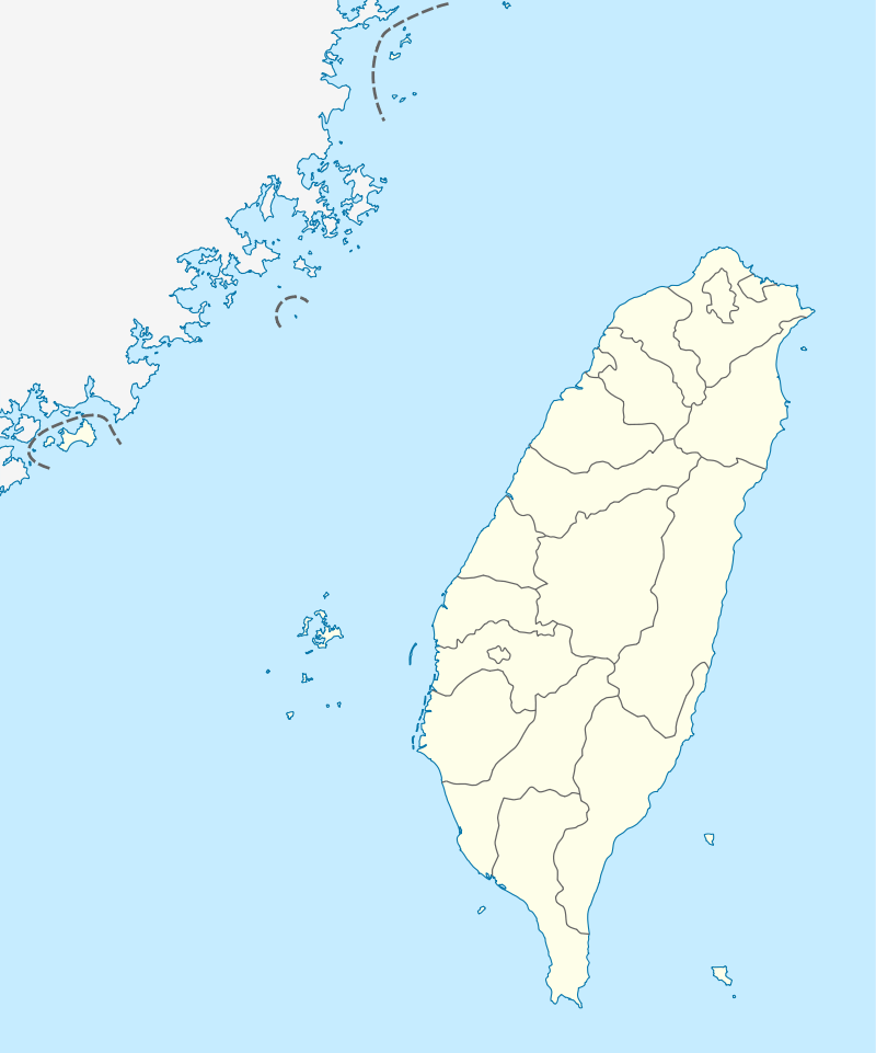
| Location | Ren'ai, Nantou County, Taiwan |
| Coordinates | 24°4′21.8″N 121°1′15.3″E / 24.072722°N 121.020917°ECoordinates: 24°4′21.8″N 121°1′15.3″E / 24.072722°N 121.020917°E |
| Elevation | 450-2,419 meters |
| Area | 74.77 km2 |
| Established | 1916 |
| Governing body | National Chung Hsing University |
The Huisun Forest Recreation Area (Chinese: 惠蓀林場; pinyin: Huìsūn Línchǎng) is a forest in Ren'ai Township, Nantou County, Taiwan. The forest is managed by the Department of Agriculture of National Chung Hsing University (NCHU).[1]
Name
The name Huisun was taken from the late president of NCHU, Tang Hui-sun, who passed away when exploring the forest.[1]
History
The forest was established in 1916. After the handover of Taiwan from Japan to the Republic of China, the forest was managed by the Taiwan Provincial College of Agriculture and named Nenggao Forest. In 1963, the forest was renamed to Huisun Forest.[2]
Geology
The forest covers an area of 74.77 km2 and located at an altitude of 450-2,419 meters above sea level.[2] It consists of 500 meters deep canyons and waterfalls.[3]
Facilities
The forest features six hiking trails.[2]
Transportation
The forest is accessible by bus from Puli Township.[1]
See also
References
- 1 2 3 "Huisun Forest Area". TravelKing. Retrieved 4 October 2018.
- 1 2 3 "Huisun Forest". roundTAIWANround. Retrieved 4 October 2018.
- ↑ "Huisun Forest Recreation Area". Welcome to Nantou. Retrieved 4 October 2018.