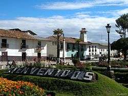
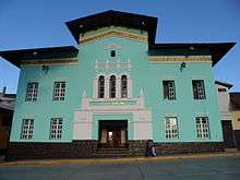
Huamachuco
| Huamachuco | |
|---|---|
| Town | |
 | |
 Huamachuco | |
| Coordinates: 7°48′43.3″S 78°02′55.3″W / 7.812028°S 78.048694°W | |
| Country |
|
| Region | La Libertad |
| Province | Sánchez Carrión |
| District | Huamachuco |
| Population | |
| • Estimate (2015)[1] | 39,806 |
| Time zone | UTC-5 (PET) |
| Website | Official website |

.jpg)

Huamachuco is a town in northern Peru and capital of the province Sánchez Carrión in La Libertad Region. The city is the seat of the Territorial Prelature of Huamachuco. Lake Sausacocha lies to the northeast.
About 30 miles away, within the Huamachuco district, is the significant archeological site of Marcahuamachuco. It is a complex of monuments, a prehistoric political and religious center of a culture that thrived 350 CE-1100 CE.
History
Originally an Inca administrative center, Huamachuco was founded in 1553 by Augustinian missionaries. It was named as a very illustrious and faithful city by General Jose de San Martin and was the scene of the Battle of Huamachuco (10 July 1883), the final episode of the Pacific War where troops led by Andrés Avelino Caceres were defeated by Chilean troops under Colonel Alejandro Gorostiaga.
Geography
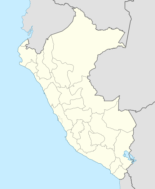
Huamachuco is located between the eastern and western cordillera of the Andes Mountains, and 100 km south of Cajamarca.
It has highland areas that range from 2500–4500 m. above sea level. Because of the heights, most of Huamachuco's land is treeless. The high-altitude grassland is known as puna. The highland is bounded on the east and west by two parallel sierra ranges. The puna grasslands were ideal habitats for deer and wild camelids. They also supported the domesticated camelids: alpacas and llamas.
Huamachuco's deep valley slopes show evidence of deliberate farming of native Andean trees and shrub vegetation. It appears that in prehistoric times, the temperature of the land was slightly warmer than today, allowing agriculture at elevations 100–300 m. higher than is possible in the 20th and 21st centuries.
Banks
- Branch of Caja Trujillo.
- Branch of Nuestra Gente.
- Branch of Banco de la Nacion.
- Branch of Caja Piura.
See also
References
- ↑ Perú: Población estimada al 30 de junio y tasa de crecimiento de las ciudades capitales, por departamento, 2011 y 2015. Perú: Estimaciones y proyecciones de población total por sexo de las principales ciudades, 2012-2015 (Report). Instituto Nacional de Estadística e Informática. March 2012. Retrieved 2015-06-03.
External links
| Wikimedia Commons has media related to Huamachuco. |
- (in Spanish) Official municipal website
Coordinates: 7°48′43.3″S 78°2′55.3″W / 7.812028°S 78.048694°W