Horní Blatná
| Horní Blatná | |||
| Town | |||
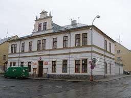 Town Hall | |||
|
|||
| Country | Czech Republic | ||
|---|---|---|---|
| Region | Karlovy Vary | ||
| District | Karlovy Vary | ||
| Commune | Ostrov | ||
| Elevation | 888 m (2,913 ft) | ||
| Coordinates | 50°23′23″N 12°46′3″E / 50.38972°N 12.76750°ECoordinates: 50°23′23″N 12°46′3″E / 50.38972°N 12.76750°E | ||
| Area | 5.62 km2 (2.17 sq mi) | ||
| Population | 889 (2006-10-02) | ||
| Density | 158/km2 (409/sq mi) | ||
| First mentioned | 1518 | ||
| Mayor | Robert Petro | ||
| Timezone | CET (UTC+1) | ||
| - summer (DST) | CEST (UTC+2) | ||
| Postal code | 362 37 | ||
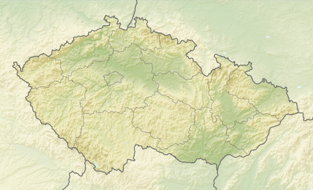 Location in the Czech Republic | |||
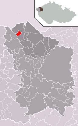 Location in Karlovy Vary District | |||
| Wikimedia Commons: Horní Blatná | |||
| Statistics: statnisprava.cz | |||
| Website: obecni-urad | |||
Horní Blatná (German: Bergstadt Platten) is a town in the Czech Republic.
The economic situation of the town was bolstered by opening of the railway line Karlovy Vary–Johanngeorgenstadt in 1899.
External links

- Municipal website
This article is issued from
Wikipedia.
The text is licensed under Creative Commons - Attribution - Sharealike.
Additional terms may apply for the media files.