Horná Poruba
| Horná Poruba | |
| Village | |
 | |
| Country | Slovakia |
|---|---|
| Region | Trenčín |
| District | Ilava |
| Elevation | 402 m (1,319 ft) |
| Coordinates | 48°57′N 18°18′E / 48.950°N 18.300°ECoordinates: 48°57′N 18°18′E / 48.950°N 18.300°E |
| Area | 13.691 km2 (5.286 sq mi) |
| Population | 1,093 (2004-12-31) |
| Density | 80/km2 (207/sq mi) |
| First mentioned | 1335 |
| Postal code | 018 35 |
| Car plate | IL |
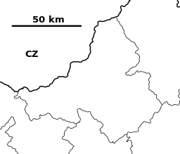
  Location of Horná Poruba in Slovakia | |
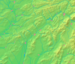  Location of Horná Poruba in the Trenčín Region | |
| Wikimedia Commons: Horná Poruba | |
| Statistics: MOŠ/MIS | |
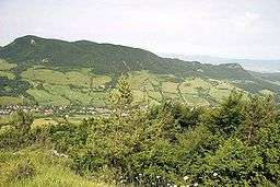
Horná Poruba (Hungarian: Felsőtölgyes) is a village and municipality in Ilava District in the Trenčín Region of north-western Slovakia.
History
In historical records the village was first mentioned in 1335.
Geography
The municipality lies at an altitude of 402 metres and covers an area of 13.691 km². It has a population of about 1,093 people.
Genealogical resources
The records for genealogical research are available at the state archive "Statny Archiv in Bytca, Slovakia"
- Roman Catholic church records (births/marriages/deaths): 1831-1895 (parish A)
See also
External links
Municipalities of Ilava District | ||
|---|---|---|
This article is issued from
Wikipedia.
The text is licensed under Creative Commons - Attribution - Sharealike.
Additional terms may apply for the media files.