Horná Lehota, Brezno District
| Horná Lehota | |
| Village | |
 | |
| Country | Slovakia |
|---|---|
| Region | Banská Bystrica |
| District | Brezno |
| Elevation | 532 m (1,745 ft) |
| Coordinates | 48°50′N 19°32′E / 48.833°N 19.533°ECoordinates: 48°50′N 19°32′E / 48.833°N 19.533°E |
| Area | 45.89 km2 (17.72 sq mi) |
| Population | 598 (31-12-2013) |
| Density | 13/km2 (34/sq mi) |
| First mentioned | 1406 |
| Postal code | 976 51 |
| Area code | +421-48 |
| Car plate | BR |
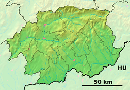 Location of Horná Lehota in the Banská Bystrica Region  Horná Lehota, Brezno District (Slovakia) | |
| Statistics: MOŠ/MIS | |
| Website: www.horna-lehota.sk | |
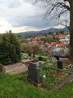
Horná Lehota is a village and municipality in Brezno District, in the Banská Bystrica Region of central Slovakia.
History
In historical records, the village was first mentioned in 1406 (Superior Lehota). It belonged to the castle of Slovenská Ľupča.
Famous people
- Samo Chalupka, writer
Genealogical resources
The records for genealogical research are available at the state archive "Statny Archiv in Banska Bystrica, Slovakia"
- Roman Catholic church records (births/marriages/deaths): 1708-1923 (parish A)
- Lutheran church records (births/marriages/deaths): 1784-1927 (parish A)
See also
External links
- http://www.e-obce.sk/obec/hornalehota/horna-lehota.html
- https://web.archive.org/web/20061117040130/http://www.hornalehota.sk/index.htm
- https://web.archive.org/web/20060429155953/http://www.nizketatry.sk/obce/hlehota/hlehota.html
- Surnames of living people in Horna Lehota
Municipalities of Brezno District | ||
|---|---|---|
This article is issued from
Wikipedia.
The text is licensed under Creative Commons - Attribution - Sharealike.
Additional terms may apply for the media files.