Hof–Plauen Airport
| Hof–Plauen Airport Flughafen Hof–Plauen | |||||||||||
|---|---|---|---|---|---|---|---|---|---|---|---|
 | |||||||||||
| Summary | |||||||||||
| Airport type | Public | ||||||||||
| Operator | Flughafen Hof-Plauen GmbH | ||||||||||
| Serves | Hof, Germany | ||||||||||
| Elevation AMSL | 1,958 ft / 597 m | ||||||||||
| Coordinates | 50°17′24″N 011°51′23″E / 50.29000°N 11.85639°E | ||||||||||
| Website | flughafen-hof-plauen.de | ||||||||||
| Map | |||||||||||
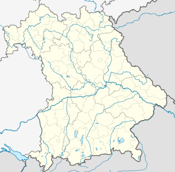 Hof Location of airport in Bavaria, Germany | |||||||||||
| Runways | |||||||||||
| |||||||||||
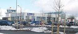
Hof–Plauen Airport (German: Flughafen Hof–Plauen) (IATA: HOQ, ICAO: EDQM) is a regional airport serving Hof, a city in the German state of Bavaria. The airport is located 3.2 nautical miles (6 km) southwest of Hof.[2]
Facilities
The airport resides at an elevation of 1,958 feet (597 m) above mean sea level. It has one runway designated 09/27 with an asphalt surface measuring 1,480 by 30 metres (4,856 ft × 98 ft).[1][2]
Airlines and destinations
There are currently no scheduled services to and from Hof–Plauen Airport. The last route was operated by Cirrus Airlines on behalf of Lufthansa to Frankfurt Airport and ceased in January 2012.
See also
References
- 1 2 Info for Pilots Archived 2011-07-19 at the Wayback Machine.. Flughafen Hof–Plauen.
- 1 2 3 Hof – Plauen – Flughafen (EDQM) at AIRPORTS.DE
- ↑ Airport information for EDQM from DAFIF (effective October 2006)
- ↑ Airport information for HOQ at Great Circle Mapper. Source: DAFIF (effective October 2006).
External links
![]()
This article is issued from
Wikipedia.
The text is licensed under Creative Commons - Attribution - Sharealike.
Additional terms may apply for the media files.