Hochwang
| Hochwang | |
|---|---|
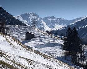 View from Valzeina (north side) | |
| Highest point | |
| Elevation | 2,534 m (8,314 ft) |
| Prominence | 417 m (1,368 ft) [1] |
| Isolation | 9 kilometres (5.6 mi) |
| Parent peak | Aroser Rothorn |
| Listing | Alpine mountains 2500-2999 m |
| Coordinates | 46°52′27.1″N 9°37′58.3″E / 46.874194°N 9.632861°ECoordinates: 46°52′27.1″N 9°37′58.3″E / 46.874194°N 9.632861°E |
| Geography | |
 Hochwang Location in Switzerland | |
| Location | Graubünden, Switzerland |
| Parent range | Plessur Alps |
The Hochwang is a mountain of the Plessur Alps, located between the valleys of Schanfigg and Prättigau in the canton of Graubünden. With a height of 2,534 metres above sea level, it is the highest summit of the chain lying west of Durannapass. Several trails lead to its summit. The closest locality is Castiel.
References
External links
This article is issued from
Wikipedia.
The text is licensed under Creative Commons - Attribution - Sharealike.
Additional terms may apply for the media files.