Hillside, Colorado
| Hillside, Colorado | |
|---|---|
| Unincorporated community | |
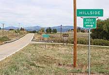 Looking north along Highway 69 in Hillside | |
| Coordinates: 38°15′54″N 105°36′46″W / 38.26500°N 105.61278°WCoordinates: 38°15′54″N 105°36′46″W / 38.26500°N 105.61278°W | |
| Country |
|
| State |
|
| Counties | Fremont[1] |
| Elevation[1] | 7,490 ft (2,283 m) |
| Time zone | UTC-7 (MST) |
| • Summer (DST) | UTC-6 (MDT) |
| ZIP code[2] | 81232 |
Hillside is an unincorporated community and a U.S. Post Office in Fremont County, Colorado, United States. The Hillside Post Office has the ZIP Code 81232.[2]
Geography
Hillside is located at 38°15′54″N 105°36′46″W / 38.26500°N 105.61278°W (38.264872,-105.612774).
References
- 1 2 "US Board on Geographic Names". United States Geological Survey. 2007-10-25. Retrieved 2008-01-31.
- 1 2 "ZIP Code Lookup". United States Postal Service. December 28, 2006. Archived from the original (JavaScript/HTML) on November 23, 2010. Retrieved December 28, 2006.
Municipalities and communities of Fremont County, Colorado, United States | ||
|---|---|---|
| Cities | 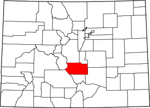 | |
| Towns | ||
| CDPs | ||
| Unincorporated communities | ||
This article is issued from
Wikipedia.
The text is licensed under Creative Commons - Attribution - Sharealike.
Additional terms may apply for the media files.