Heron Bay, Georgia
| Heron Bay, Georgia | |
|---|---|
| Census-designated place | |
 Heron Bay  Heron Bay | |
| Coordinates: 33°20′21″N 84°11′32″W / 33.33917°N 84.19222°WCoordinates: 33°20′21″N 84°11′32″W / 33.33917°N 84.19222°W | |
| Country | United States |
| State | Georgia |
| Counties | Henry, Spalding |
| Area[1] | |
| • Total | 4.894 sq mi (12.68 km2) |
| • Land | 4.886 sq mi (12.65 km2) |
| • Water | 0.008 sq mi (0.02 km2) |
| Elevation | 781 ft (238 m) |
| Population (2010) | |
| • Total | 3,384 |
| • Density | 690/sq mi (270/km2) |
| Time zone | UTC-5 (Eastern (EST)) |
| • Summer (DST) | UTC-4 (EDT) |
| Area code(s) | 770/678/470 |
| GNIS feature ID | 2583405[2] |
Heron Bay is a census-designated place in Henry and Spalding counties in the U.S. state of Georgia. Its population was 3,384 as of the 2010 census.[1]
References
- 1 2 "2010 Census Gazetteer Files - Places: Georgia". U.S. Census Bureau. Archived from the original on January 3, 2015. Retrieved January 4, 2015.
- ↑ "Heron Bay Census Designated Place". Geographic Names Information System. United States Geological Survey.
Municipalities and communities of Henry County, Georgia, United States | ||
|---|---|---|
| Cities | 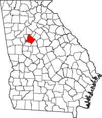 | |
| CDP | ||
| Unincorporated communities | ||
| Footnotes | ‡This populated place also has portions in an adjacent county or counties | |
Municipalities and communities of Spalding County, Georgia, United States | ||
|---|---|---|
| Cities | 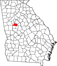 | |
| Town | ||
| CDPs | ||
| Unincorporated community | ||
| Footnotes | ‡This populated place also has portions in an adjacent county or counties | |
This article is issued from
Wikipedia.
The text is licensed under Creative Commons - Attribution - Sharealike.
Additional terms may apply for the media files.