Haumoana
| Haumoana | |
|---|---|
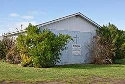 St Francis Church in Haumoana | |
 Haumoana | |
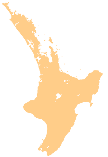
| Coordinates: 39°37′S 176°57′E / 39.617°S 176.950°E | |
| Country | New Zealand |
| Region | Hawke's Bay |
| Territorial authority | Hastings District |
Haumoana is a coastal town just south of the Tukituki River outlet in Hawke Bay on the east coast of New Zealand's North Island. It is located 12 km south of Napier and ten kilometres east of Hastings. The village incorporates a school, a Presbyterian Church, a general store, a takeaway shop, a hall and a fire station. The village was developed as a holiday settlement with beaches, and the surrounding area has historically been used for sheep and cattle grazing and horticulture. However, lifestyle blocks and grape growing have become more prominent in recent times. Many inhabitants commute to the nearby cities to work. There are approximately 430 houses in Haumoana. The population at the 2013 census was 2256, an increase of 54 people since 2006.[1]
The area is flat and low lying, with hills to the southwest. The underlying soil material has been laid down by rivers and the sea margin. Particle size ranges from gravel to clay. Nearer the beach the area is underlain by free draining sandy-gravels but further inland the gravels are overlain by poor draining silt and clay rich soils. Parts of the beach are experiencing coastal erosion of 0.7 metres per year, which resulted in the removal of several houses along the gravel beach crest, and other beach front properties being inundated during heavy swells and high tides.
Due to its location near the beach in an area prone to coastal erosion, parts of the beach at Haumoana is being eroded. The long term shoreline retreat at Haumoana is on average between 0.30 m and 0.70 m per year. This rate of erosion is the same as it is at Te Awanga further down the Bay coastline. The coastal erosion rate at Clifton south of Te Awanga is slightly higher.[2][3]
Haumoana has a reticulated water supply managed by the Hastings District Council. An estimated 3% gain their water independently through rain water collection or from individual water bores. Wastewater is disposed using individual septic tanks.
Notable people
- John Scott, architect
- Paul Holmes, media personality
References
- ↑ 2013 Census QuickStats about a place:Haumoana
- ↑ Coastal Erosion and Inundation. www.hbemergency.govt.nz (3 April 2002). Retrieved on 8 August 2012.
- ↑ Coastal Erosion – Haumoana, Hawke's Bay, New Zealand. Haumoana.com. Retrieved on 8 August 2012.