Hatton, Warwickshire
| Hatton | |
|---|---|
 The former inmate cemetery of Central Hospital | |
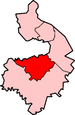
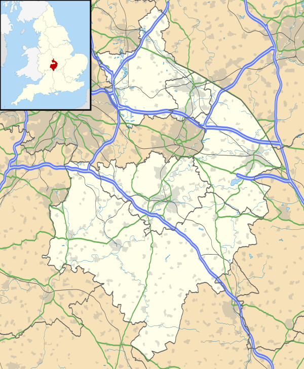 Hatton Hatton shown within Warwickshire | |
| Population | 2,319 (2011) |
| OS grid reference | SP2467 |
| Civil parish |
|
| District | |
| Shire county | |
| Region | |
| Country | England |
| Sovereign state | United Kingdom |
| Post town | WARWICK |
| Postcode district | CV35 |
| Dialling code | 01926 |
| Police | Warwickshire |
| Fire | Warwickshire |
| Ambulance | West Midlands |
| EU Parliament | West Midlands |
| UK Parliament | |
Hatton (grid reference SP242670) is a village and civil parish about 4 miles (6.4 km) west of Warwick, in the Warwick District of Warwickshire in England. It had a population of 1,078 at the 2001 Census,[1] increasing to 2,319 at the 2011 Census.[2] Notable features include a remarkable series of 21 locks on the Grand Union Canal, a shopping village (Hatton Country World) and a former psychiatric hospital (Central Hospital, Hatton) that has been turned into a large housing estate while still preserving the original Victorian buildings. The public house, Hatton Arms, was historically noted for its regular large assemblies of motorcycles. Other public houses in the area include the Falcon Inn, although less well known as it is situated further away from the village centre. Shrewley and Beausale are hamlets within the parish.
Transport
Hatton is close to the M40 motorway and is also served by the small, unmanned Hatton railway station, which lies on the main Birmingham Snow Hill to London Marylebone[3] line and a small branch line[4] to Stratford-upon-Avon. Services from this station are run by Chiltern Railways and West Midlands Trains. There are direct services to Stratford-upon-Avon and intermediate stations, Warwick, Leamington Spa and stations to London Marylebone, and stations to Birmingham Snow Hill. The towpath Grand Union Canal is a long distance walk as well as a route for narrowboaters and canoeists.
References
- ↑ "Census 2001 : Parish Headcounts : Warwick". Neighbourhood Statistics. Office for National Statistics. Retrieved 19 May 2010.
- ↑ "Civil Parish population 2011". Neighbourhood Statistics. Office for National Statistics. Retrieved 28 December 2015.
- ↑ Birmingham Snow Hill to London Marylebone
- ↑ small branch line
External links
| Wikimedia Commons has media related to Hatton, Warwickshire. |
- Birmingham and Midland Society - contains slightly out-of-date information about the psychiatric hospital