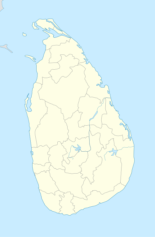
Hatton, Sri Lanka
| Hatton හැටන් ஹற்றன் | |
|---|---|
 | |
 Hatton | |
| Coordinates: 6°53′23″N 80°35′53″E / 6.88972°N 80.59806°ECoordinates: 6°53′23″N 80°35′53″E / 6.88972°N 80.59806°E | |
| Country | Sri Lanka |
| Province | Central Province |
| District | Nuwara Eliya District |
| Divisional Secretariat | (Ambagamuwa Divisional Secretariat) |
| Established | 1821 |
| Government | |
| • Type | Urban Council |
| • Body | Hatton Dickoya Urban Council |
| Elevation | 1,271 m (4,170 ft) |
| Population (2016) | |
| • Total | 100,073 |
| Time zone | UTC+5:30 (Sri Lanka Standard Time Zone) |
| • Summer (DST) | UTC+6 (Summer time) |
| Postal code | 22000 |
| Area code(s) | 051 |
Hatton (Sinhalese: හැටන්, Tamil: ஹற்றன்) is a town in the Nuwara Eliya District of Central Province, Sri Lanka governed by the Hatton-Dickoya Urban Council. Hatton is a major centre of the Sri Lankan tea industry.
Hatton is one of the busiest cities in the hill country of Sri Lanka and is colloquially known as the tea capital of the country, as it is the central point for most upcountry tea growing regions, such as Maskeliya, Talawakelle, Bogawantalawa and Dickoya.
It is located approximately 83 km (52 mi) southeast of Colombo and 44 km (27 mi) south of Kandy, at an elevation of 1,271 m (4,170 ft) above sea level.
Hatton was founded during the British colonial times in order to serve the coffee plantations and latter tea estates. The name of the town refers to the village in Aberdeenshire, Scotland. A number of the surrounding tea estates are also named after Scottish villages.
Hatton serves as a gateway to Adam's Peak (Sri Pada) and Sinharaja Forest Reserve, but is better known for its Ceylon tea plantations and Stassen group tea.
Transport
The Hatton Railway Station is located on the Main Line (Colombo-Badulla) railway line and on the A7 highway (Avissawella-Nuwara Eliya) a part of the Avissawella-Nuwara Eliya main road.
Demographics
| Ethnicity | Population (2001) | % Of Total |
|---|---|---|
| Indian Tamils | 33,084 | 33.06 |
| Sinhalese | 26,339 | 26.32 |
| Sri Lankan Tamils | 23,016 | 23.00 |
| Sri Lankan Moors | 16,211 | 16.20 |
| Other (including Burgher, Malay) | 1,423 | 1.42 |
| Total | 100 073 | 100 |
Attractions
- Adams Peak
- Devon Falls, a 97 m (318 ft) high waterfall
- Dumbara Cricket Stadium
- Holy Cross Church (Catholic)
- Laxapana Falls, a 126 m (413 ft) high waterfall
- Maanica Pillayaar/Sri Manickapillayar Kovil, a Hindu temple dedicated to Ganesh
- Maskiliya Reservoirs
- St. Clair's Falls, a 80 m (260 ft) high and 50 m (160 ft) wide waterfall
- Shri Nigrodharamaya Buddhist Temple
- Singha Malai Tunnel, the longest railway tunnel in Sri Lanka
- 60 feet railway bridge
- Sri Muthu Mariyamman Kovil, a Hindu temple
- Subramaniam Kovil, Hindu temple dedicated to Murugan
Education
- Highlands National College
- St. John Bosco's College
- Highlevel International School
- Life-spring English Academy
- Oxbridge International College
- St. Gabriel's Convent
- Shannon Tamil Maha Vidyalayam
- Sri Pada Central College
- Univenture international
- Webster International School
Economy
Hatton is the largest city in the Nuwara Eliya District. A number of major corporations have branch offices in Hatton, servicing industries including textiles, tea, furniture and information technology.
Neighbourhoods
- Nuwara Eliya
- Maskeliya
- Bogawanthala
- Talawakella
- Dickoya
- Norwood
- Watawala
- Ginigathena
- Kottagalla
Climate
- The majority of rainfall (rainy season) occurs in May,July,August,September,October.
- On average, the warmest month is April.
- On average, the coolest month is August.
- October is the wettest month.
- March is the driest month.
Post and telephone
- Sri Lanka 00 94
- Area code 051
- Postal code 22000
References
External links
| Wikimedia Commons has media related to Hatton, Sri Lanka. |