Hato Grande Airport
| Hato Grande Airport | |||||||||||
|---|---|---|---|---|---|---|---|---|---|---|---|
| Summary | |||||||||||
| Airport type | Public | ||||||||||
| Serves | Hato Grande | ||||||||||
| Elevation AMSL | 177 ft / 54 m | ||||||||||
| Coordinates | 11°58′55″N 85°26′00″W / 11.98194°N 85.43333°WCoordinates: 11°58′55″N 85°26′00″W / 11.98194°N 85.43333°W | ||||||||||
| Map | |||||||||||
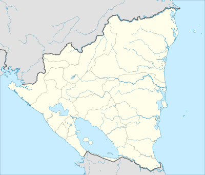 MNHG Location in Nicaragua | |||||||||||
| Runways | |||||||||||
| |||||||||||
|
Sources: Google Maps[1] | |||||||||||
Hato Grande Airport (ICAO: MNHG) is an airport serving the village of Hato Grande in Chontales Department, Nicaragua. The runway is 14 kilometres (8.7 mi) southwest of Juigalpa.
See also

- Transport in Nicaragua
- List of airports in Nicaragua
References
External links
This article is issued from
Wikipedia.
The text is licensed under Creative Commons - Attribution - Sharealike.
Additional terms may apply for the media files.