Hard Bargain Airport
| Hard Bargain Airport | |||||||||||
|---|---|---|---|---|---|---|---|---|---|---|---|
| Summary | |||||||||||
| Airport type | Public | ||||||||||
| Serves | Long Island | ||||||||||
| Location | Bahamas | ||||||||||
| Elevation AMSL | 5 ft / 2 m | ||||||||||
| Coordinates | 23°0′40.3″N 74°54′21.2″W / 23.011194°N 74.905889°WCoordinates: 23°0′40.3″N 74°54′21.2″W / 23.011194°N 74.905889°W | ||||||||||
| Map | |||||||||||
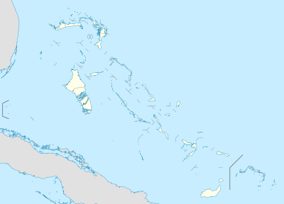 MYLR Location of Hard Bargain Airport in the Bahamas | |||||||||||
| Runways | |||||||||||
| |||||||||||
Hard Bargain Airport (ICAO: MYLR) is a public use airport located near Long Island, the Bahamas.
See also
References
- ↑ Airport record for Hard Bargain Airport at Landings.com. Retrieved 2013-08-08
- ↑ Google (2013-08-08). "location of Hard Bargain Airport" (Map). Google Maps. Google. Retrieved 2013-08-08.
External links
- Airport record for Hard Bargain Airport at Landings.com
This article is issued from
Wikipedia.
The text is licensed under Creative Commons - Attribution - Sharealike.
Additional terms may apply for the media files.