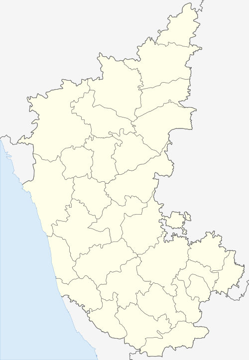
Harpanahalli
| Harapanahalli ಹರಪನಹಳ್ಳಿ | |
|---|---|
| city | |
| Nickname(s): ಬೀಚಿ ನಾಡು | |
 Harapanahalli Location in Karnataka, India | |
| Coordinates: 14°48′N 75°59′E / 14.8°N 75.98°ECoordinates: 14°48′N 75°59′E / 14.8°N 75.98°E | |
| Country |
|
| State | Karnataka |
| District | Ballari |
| Government | |
| • Body | Harapanahalli Town Municipal Council |
| Area | |
| • Total | 6.98 km2 (2.69 sq mi) |
| Elevation | 633 m (2,077 ft) |
| Population (2011) | |
| • Total | 302,003 |
| • Density | 43,000/km2 (110,000/sq mi) |
| Languages | |
| • Official | Kannada |
| Time zone | UTC+5:30 (IST) |
| PIN | 583131 |
| Telephone code | 08398 |
| Vehicle registration | KA-17 |
| Distance from Ballary | 128 kilometres (80 mi) |
| Distance from Bangalore | 297 kilometres (185 mi) |
| Website |
harapanahallitown |
Harapanahalli is a City in Ballari district in the Indian state of Karnataka.
Geography
Harpanahalli is located at 14°48′N 75°59′E / 14.8°N 75.98°E.[1] It has an average elevation of 633 metres (2076 feet). Harapanahalli is the one of the biggest city in Ballary district. Harapanahalli is situated at its center being heart/center Taluk in the whole state. Harapanahalli is one of the oldest trading center since Madras presidency apart from Education center.The State Cabinet’s decision to include Harapanahalli taluk of Davangere district within Ballari district has fulfilled a long-pending dream of the people here. With this move, the people of the taluk will receive all facilities extended to Hyderabad Karnataka region under Article 371(J).
Demographics
As of 2001 India census,[2] Harpanahalli had a population of 41,889. Males constitute 52% of the population and females 48%. Harpanahalli has an average literacy rate of 55%, lower than the national average of 59.5%: male literacy is 60%, and female literacy is 48%. In Harpanahalli, 14% of the population is under 6 years of age.
Nearest Railway Station
The Nearest Railway Station is Harapanahalli(1.5 km) which is inaugurated in March 2014.
Education
There are several primary schools and high schools in Harpanahalli. College level educational institutions include the Pharmacy College and the Government Junior college. KCA Higher and Primary Schools..
See also
- Huchhangidurga, Harpanahalli
- Neelagunda, Harapanahalli
- Ballary
- Karnataka
- Bagali
References
- ↑ Falling Rain Genomics, Inc - Harpanahalli
- ↑ "Census of India 2001: Data from the 2001 Census, including cities, villages and towns (Provisional)". Census Commission of India. Archived from the original on 2004-06-16. Retrieved 2008-11-01.