Gwal Pahari
| Gawal Pahari | |
|---|---|
| City | |
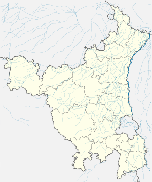
 Gwal Pahari Location of Gwal Pahari in Haryana  Gwal Pahari Gwal Pahari (India) | |
| Coordinates: 28°26′05″N 77°08′40″E / 28.4347°N 77.1445°ECoordinates: 28°26′05″N 77°08′40″E / 28.4347°N 77.1445°E | |
| Country |
|
| State | Haryana |
| District | Gurgaon district |
| Government | |
| • Lok Sabha constituency | Gurgaon Lok Sabha Constituency |
| • City | Gurgaon |
| • Planning agency | Haryana Urban Development Authority |
| Elevation | 217 m (711.9 ft) |
| Languages | |
| Time zone | UTC+5:30 (IST) |
| PIN | 122003 |
| Area code(s) | 0124 |
| Vehicle registration |
HR-26 (City) HR-55 (Commercial) HR-72 (Sohna ) HR-76Pataudi (Gurgaon) |
| Website |
gurgaon |
Gawal Pahari is a village in Gurgaon Mandal in the Gurgaon District of Haryana state, India.
Demography
As per 2011 census of India, the village has a population of around 1652 people who are mostly members of the Gujjar community.[1][2]
References
- ↑ "Gurjar's History". Archived from the original on 17 August 2011. Retrieved 14 April 2011.
- ↑ "Local information for Gual Pahari - Location coordinates(lat long) on map, businesses, tourist places, hotels & restaurants, user added information, local resources". Geolysis.com. Retrieved 1 January 2016.
This article is issued from
Wikipedia.
The text is licensed under Creative Commons - Attribution - Sharealike.
Additional terms may apply for the media files.
