Gun-Galuut Nature Reserve
| Gun-Galuut Nature Reserve | |
|---|---|
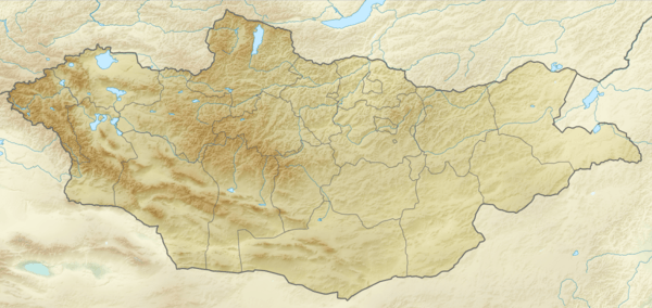
 Map of Mongolia | |
| Location | East Central Mongolia |
| Nearest city | Baganuur |
| Coordinates | 47°32′28″N 108°20′35″E / 47.541°N 108.343°E[1]Coordinates: 47°32′28″N 108°20′35″E / 47.541°N 108.343°E[2] |
| Area | 200 km2 (77 sq mi) |
| Established | 2003 |
Gun-Galuut Nature Reserve, 130 km (81 mi) south-east of Ulaanbaatar, has a great diversity of ecosystems even though it has a comparatively small area. The complex of high mountains, steppes, rivers, lakes and wetlands are kept in their original condition. Visitors to Gun-Galuut see vast steppes seeming to meet the sky, the imposing mountains of Baits and Berkh, the homeland of rare creatures, Ikh-Gun and Ayaga lakes, a paradise of birds, Kherlen, the longest river of Mongolia and the Tsengiin Burd wetland, where water and wetland birds lay their eggs.
Fauna
Although limited research has been carried out on the reserve's fauna, 63 mammal species, 81 bird species, three amphibian species and 38 fish species have been recorded, including a number of nationally and globally threatened species. Among the more common mammal species are the gray wolf, Tarbagan marmot, souslik (ground squirrel), pika, vole, fox, corsac and jerboa. Globally threatened species include the argali (mountain sheep), Siberian crane, white-naped crane, hooded crane, black vulture and swan goose. Among the nationally threatened species found in the park are the whooper swan, black stork, great white egret, bar-headed goose, bearded vulture and Eurasian penduline tit.
References
- ↑ "Map of Gun-Galuut Nature Reserve". Gun-Galuut Community Association.
- ↑ "Map of Gun-Galuut Nature Reserve". Gun-Galuut Community Association.
External links
| Wikivoyage has a travel guide for Gun-Galuut Nature Reserve. |