Gulf of Burgas
| Gulf of Burgas | |
|---|---|
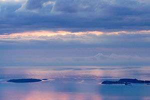 Islands in the Gulf of Burgas | |
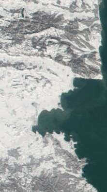 Satellite view of the Burgas Bay | |
| Location | Black Sea |
| Coordinates | Coordinates: 42°30′0″N 27°35′0″E / 42.50000°N 27.58333°E |
| Ocean/sea sources | Atlantic Ocean |
| Basin countries | Bulgaria |
| Max. width | 41 km (25 mi) |
| Max. depth | 25 m (82 ft) |
| Salinity | 17 ‰ |
| Islands | St. Ivan Island, St. Peter Island, St. Anastasia Island, St. Thomas Island |
| Settlements | Burgas, Pomorie, Nesebar, Sozopol |
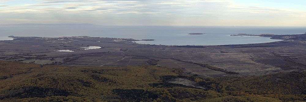
Gulf of Burgas or Burgas Bay (Bulgarian: Бургаски залив, Burgaski zaliv) between the coastline and the straight line joining Cape Emine and Cape Maslen nos[1] is the largest bay of the Bulgarian Black Sea Coast and one of the largest ones in the Black Sea. It is 41 km at its widest and 25 m at its deepest, reaching 31 km at its greatest innermost extent,[2] approximately where the Bulgarian city and major port of Burgas is located. Other towns in the region include Pomorie, Sozopol and Nesebar. The Burgas Bay is the Black Sea's westernmost point.
The bay gets narrow to the west. While the northern coast is lower and has two big peninsulas, at Nesebar and Pomorie, the southern part of the bay is rougher, with many little inlets and headlands. The water's salinity in the bay is 17‰; the sand is of magnetite origin. The Burgas Lakes are located in the wetlands to the west.
There are several small islands in the southern part of Burgas Bay, most notably St. Ivan Island and St. Peter Island, St. Anastasia Island (the old Bolshevik), St. Thomas Island (popularly the Snake Island).
Gallery
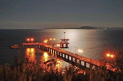 View of the bay at night
References
- "Бургаски залив". Българска енциклопедия А-Я (in Bulgarian). БАН, Труд, Сирма. 2002.
- ↑ Bourgas Bay between the coastline and the straight line joining Cape Emine and Cape Maslen Nos in Maritime Space, Inland Waterways and Ports Act of the Republic of Bulgaria 28 January 2000(1), www.un.org
- ↑ "Archived copy". Archived from the original on 2006-02-13. Retrieved 2006-05-02.