Gulf Harbour

| Gulf Harbour | |
|---|---|
| Basic information | |
| Local authority | Auckland Council |
| Population | 2,553 (2013) |
| Surrounds | |
| North | (Whangaparaoa Bay) |
| Northeast | Army Bay |
| East | Okoromai Bay |
| South | (Hauraki Gulf) |
| Southwest | Manly |
| West | Tindalls Beach |
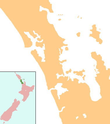
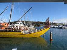
Gulf Harbour is a development some 4 km from the end of the Whangaparaoa Peninsula, towards the northern end of Auckland, New Zealand. It has one of the country's largest marinas, one of the country's top golf courses, and is regarded as a retreat for Auckland's well-off. The site is also known as Hobbs Bay, and was sold in the early seventies by landowners, the Hobbs family, who still retain some of the coastal area including the Hobbs Bay beach.
At the 2013 census, the population was 2,553 in 939 dwellings,[1] with a median age of 43.1 years[2] and median income of $31,200.[3] A reputation as a rich people's location is borne out by Statistics New Zealand data which showed Gulf Harbour Marina as the Auckland suburb with the highest median income, at NZ$60,000.[4] However, the 2013 census showed that Gulf Harbour Marina had 33 people with a median age of 54.2 and median income of $30,400.[5]
A ferry service operates between Gulf Harbour and downtown Auckland.
Education
Gulf Harbour School is a full primary (years 1-8) school with a roll of 466.[6]
Wentworth College is a secondary (years 7-13) school with a roll of 236.[7] It is a private school which opened in 2003.[8] Wentworth Primary School is a private primary school which opened in February 2008 on the same site.[9][10]
All three schools are coeducational. The two established schools have a decile rating of 10, but Wentworth Primary does not yet have a decile rating.
References
- ↑ "2013 Census QuickStats about a place: Gulf Harbour". Stats NZ – stats.govt.nz. 2013. Retrieved 4 November 2017.
- ↑ "2013 Census QuickStats about a place: Gulf Harbour". Stats NZ – stats.govt.nz. 2013. Retrieved 4 November 2017.
- ↑ "2013 Census QuickStats about a place: Gulf Harbour". Stats NZ – stats.govt.nz. 2013. Retrieved 4 November 2017.
- ↑ Collins, Simon (23 June 2009). "We're getting richer but gap is widening". The New Zealand Herald. Retrieved 2 October 2011.
- ↑ StatsNZ 2013 Census map – QuickStats about a place
- ↑ "Te Kete Ipurangi - Gulf Harbour School". Ministry of Education.
- ↑ "Te Kete Ipurangi - Wentworth College, New Zealand". Ministry of Education.
- ↑ "Education Review Report - Wentworth College". Education Review Office. October 2003.
- ↑ "Te Kete Ipurangi - Wentworth Primary". Ministry of Education.
- ↑ "Wentworth Primary School". Wentworth. Archived from the original on September 9, 2007. Retrieved 2008-08-24.