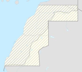
Guerguerat
| Guerguerat | |
|---|---|
 Guerguerat | |
| Coordinates: 21°25′34″N 16°57′31″W / 21.42611°N 16.95861°WCoordinates: 21°25′34″N 16°57′31″W / 21.42611°N 16.95861°W | |
| Territory | Morocco |
| Claimed by |
Western Sahara |
| Elevation | 20 m (70 ft) |
| Population (2009) | |
| • Total | 28 |
Guerguerat (Berber languages: Gargaren, Arabic: گرگرات) is a small village in the far south west of Western Sahara, 11 km from the border with Mauritania and 5 km from the Atlantic Ocean. The village is under the control of Morocco. The Moroccan passport control stamp bears the name of Bir Gandouz, a nearby village. Morocco sees this frontier post as the southernmost barrier protecting the European Union.[1]
The area between the Moroccan frontier post and the Mauritanian frontier is seen by Morocco as a no man's land and by the Polisario as part of the RASD.
In January 2015, the Polisario established a military presence in La Güera on the seaside, but apparently did not yet start controlling passports of people transiting to Mauritania.[2]
Since February 2017, the Gendarmerie Nationale (الدرك الوطني) started to hoist flags and turn back Moroccan lorries showing the contour of Morocco including Western Sahara. The importance of Guerguerat to Morocco lies in two aspects: Moroccan exports of vegetables to Mauritania (especially to Nouadhibou) run through this border station and it is the only way for Moroccans to leave their country by land without a visa to another country. The importance of Guerguerat to the DARS lies in the fact that this is the only location where it can exert pressure on Morocco by isolating it from Mauritania.
Climate
| Climate data for Guerguerat | |||||||||||||
|---|---|---|---|---|---|---|---|---|---|---|---|---|---|
| Month | Jan | Feb | Mar | Apr | May | Jun | Jul | Aug | Sep | Oct | Nov | Dec | Year |
| Average high °C (°F) | 24.0 (75.2) |
24.7 (76.5) |
25.6 (78.1) |
25.5 (77.9) |
25.9 (78.6) |
27.7 (81.9) |
27.2 (81) |
28.2 (82.8) |
30.1 (86.2) |
29.7 (85.5) |
26.9 (80.4) |
24.1 (75.4) |
26.6 (80) |
| Average low °C (°F) | 13.4 (56.1) |
13.7 (56.7) |
14.4 (57.9) |
14.8 (58.6) |
15.9 (60.6) |
17.3 (63.1) |
18.6 (65.5) |
19.6 (67.3) |
20.0 (68) |
18.6 (65.5) |
16.6 (61.9) |
14.2 (57.6) |
16.4 (61.6) |
| Average precipitation mm (inches) | 1 (0.04) |
3 (0.12) |
0 (0) |
1 (0.04) |
0 (0) |
0 (0) |
1 (0.04) |
2 (0.08) |
5 (0.2) |
3 (0.12) |
2 (0.08) |
1 (0.04) |
19 (0.75) |
| Source: Climate-data.org | |||||||||||||
References
- ↑ "Clandestins : Le Maroc, verrou sud de l'Europe – Valeurs actuelles". Retrieved 24 October 2016.
- ↑ "لكويرة تحت سيطرة الجيش الصحراوي بالتنسيق مع موريتانيا". Retrieved 24 October 2016.