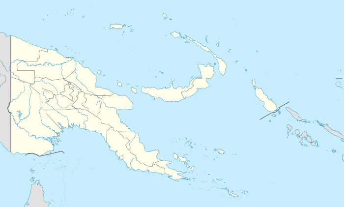
Guari Rural LLG
| Guari Rural LLG | |
|---|---|
 Guari Rural LLG Location within Papua New Guinea | |
| Coordinates: 8°08′02″S 146°50′24″E / 8.134°S 146.840°E | |
| Country | Papua New Guinea |
| Province | Central Province |
| District | Goilala District |
| Capital | Guari |
| Area | |
| • Total | 2,921 km2 (1,128 sq mi) |
| Population (2000[1]) | |
| • Total | 5,438 |
| • Density | 1.9/km2 (4.8/sq mi) |
| Languages | |
| • Main languages | Kunimaipa |
| Time zone | UTC+10 (AEST) |
The Guari Rural LLG is a local level government area situated in the Goilala District of the Central Province of Papua New Guinea. In 2000, the LLG had 1,148 households, and a population of 5,438 (2,880 men and 2,558 women).[1] The area is without a major population centre, and is divided into four wards:
- 53020401 Zarima
- 53020402 Kamulai
- 53020403 Rupila
- 53020404 Zhake
The LLG has a President and a Deputy President, and elections are normally held every five years after the national elections in September.[2]
Villages
- Guari
- Bizoa
- Enaugagave
- Ganiawai
- Ghivena
- Kamulai
- Kelevi
- Koefa
- Koilapo
- Lobudono
- Mariboi
- Omuitu
- Rapaula
- Rupila
- Taveve
- Tonamena
- Torula
- Zhake
References
- 1 2 PNG Business Directory. "Population by Statistical LLG Areas, Central Province, 2000". Retrieved 25 July 2011.
- ↑ "Political and Administrative Structures in Goilala District". Retrieved 26 July 2011.
This article is issued from
Wikipedia.
The text is licensed under Creative Commons - Attribution - Sharealike.
Additional terms may apply for the media files.