Guamá River
| Guamá River | |
|---|---|
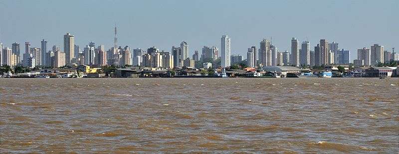 The city of Belém seen from the river | |
 Mouth location in Brazil | |
| Country | Brazil |
| Physical characteristics | |
| Main source | Pará state |
| River mouth | 1°29′01″S 48°29′01″W / 1.483715°S 48.483699°WCoordinates: 1°29′01″S 48°29′01″W / 1.483715°S 48.483699°W |
| Length | 82 km (51 mi) |
The Guamá River is a river of Pará state in north-central Brazil. At its mouth it forms the southern border of the state capital, Belém.
The Gurupí, Capim and Guamá rivers flow into the mouth of the Amazon and are affected by the daily tides, which force water from the Amazon upstream. They are in the Tocantins-Araguaia-Maranhão moist forests ecoregion.[1]
See also
References
Sources
- Sears, Robin, South America: Eastern extreme of the Amazon basin in Brazil (NT0170), WWF: World Wildlife Fund, retrieved 2017-03-25
This article is issued from
Wikipedia.
The text is licensed under Creative Commons - Attribution - Sharealike.
Additional terms may apply for the media files.