Greenwich Light Vessel Automatic
| History | |
|---|---|
| Namesake: | Greenwich Meridian |
| Operator: | Trinity House |
| Builder: | Philip & Son, Dartmouth |
| In service: | 1947 |
| Identification: | MMSI number: 992351032 |
| General characteristics | |
| Type: | Lightvessel |
| Tonnage: | 267 tonnes |
| Length: | 40 m (130 ft) |
| Beam: | 8 m (26 ft) |
| Draught: | 4.5 m (15 ft) |
 Greenwich Light Vessel | |
| Location |
United Kingdom |
|---|---|
| Coordinates | 50°24.538′N 0°0.095′W / 50.408967°N 0.001583°WCoordinates: 50°24.538′N 0°0.095′W / 50.408967°N 0.001583°W |
| Height |
12 metre |
| Focal height |
12 metre |
| Range |
15 nautical mile |
| Characteristic |
Fl W 5s |
| Managing agent | Trinity House |
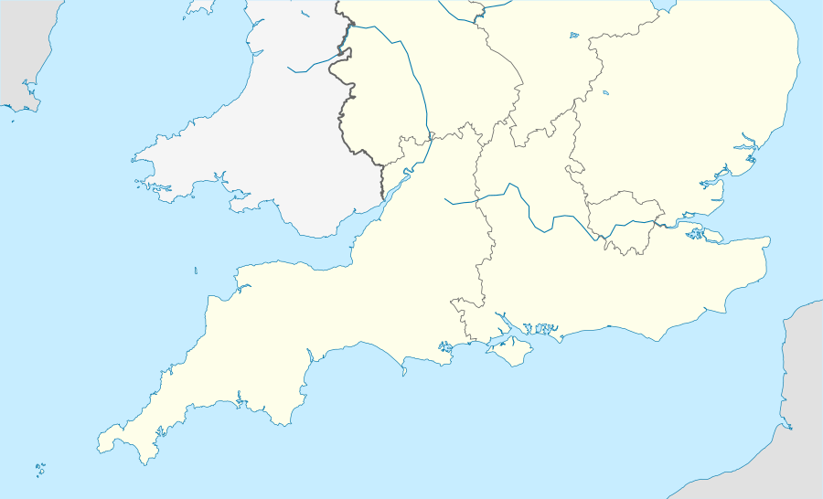
Greenwich Light Vessel Automatic is the name of a lightvessel in the English Channel, off the coast of East Sussex. It is operated by Trinity House.[1] It is one of the 22 coastal weather stations whose conditions are reported in the BBC Shipping Forecast. The name of the vessel derives from the fact that is located close to the Greenwich (or Prime) Meridian.
The vessel currently on this station is the solar powered Trinity House Lightvessel No. 5, built in 1946 and in active service at various stations around the British coast since 1947.[2]
References
- ↑ "Greenwich Lightvessel". Trinity House. Retrieved 2017-02-08.
- ↑ "Trinity House Lightvessel No. 5". 14 January 2014.
- "Notice to mariners". Trinity House. 9 October 2012. Archived from the original on 23 September 2015.
This article is issued from
Wikipedia.
The text is licensed under Creative Commons - Attribution - Sharealike.
Additional terms may apply for the media files.