Great Basin Divide
| Great Basin Divide | |
|---|---|
| Geography | |
| Countries | United States and Mexico |
| Parent range | North America |
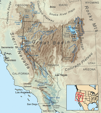
The Great Basin Divide is the western continental divide that separates the Great Basin from the Pacific Ocean watershed. The water divide is the perimeter of the largest set of contiguous endorheic watersheds of North America, including six entire USGS watershed subregions.[2] For example, the San Joaquin River subregion that drains to the Pacific is adjacent to the Great Basin's Mono-Northern Mojave subregion and central Lahontan subregion, and their triple point is on the Great Basin Divide.
References
- 1 2 3 "USA Lower 48 Triple Divide Points". PeakBagger.com. Retrieved 2011-11-13.
- ↑ "Boundary Descriptions and Names of Regions, Subregions, Accounting Units and Cataloging Units". USGS.gov. Retrieved 2010-06-07.
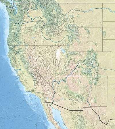
Great Basin watersheds | ||
|---|---|---|
|  | |
This article is issued from
Wikipedia.
The text is licensed under Creative Commons - Attribution - Sharealike.
Additional terms may apply for the media files.