Granados, Sonora
| Granados | |
|---|---|
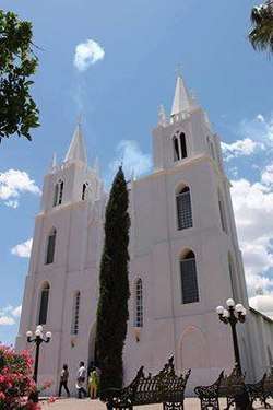 Saint Isidro Labrador Church, local temple | |
|
Granados | |
| Coordinates: 29°52′N 109°17′W / 29.867°N 109.283°WCoordinates: 29°52′N 109°17′W / 29.867°N 109.283°W | |
| Country |
|
| Area | |
| • Total | 361.27 km2 (139.49 sq mi) |
| Population (2005) | |
| • Total | 938 |
| • Density | 2.6/km2 (6.7/sq mi) |
Granados is the municipal seat of Granados Municipality in the northeast of the Mexican state of Sonora. The municipal area is 361.27 km2, and the population was 1,235 in 2000 (3.48 inhabitants/km²). By 2005 the population had decreased to 938 due to emigration due to insufficient educational infrastructure and the lack of job opportunities. The population of the municipal seat was 1,228 according to the 2000 census.[1][2]
The terrain is mountainous and the average annual temperature is 19°C. The rainy season is from July to September and the average annual rainfall is 485.9 mm.
Subsistence agriculture and cattle raising are the main economic activities. The main crops are corn and beans and grasses for fodder. Calves are exported to the United States of America.
The town was named after Don José Joaquín Granados y Gálvez, second bishop of Sonora from 1788 to 1794.
References
- ↑ "Wayback Machine". www.e-local.gob.mx (in Spanish). 1 December 2008.
- ↑ (INEGI), Instituto Nacional de Estadística y Geografía. "Instituto Nacional de Estadística y Geografía (INEGI)". www.inegi.gob.mx (in Spanish).
External links