Gorsley
| Gorsley Common | |
|---|---|
| Village | |
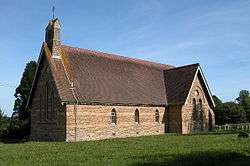 Christ Church, Gorsley | |
 Gorsley Common | |
| Coordinates: Coordinates: 51°55′47″N 2°28′00″W / 51.92979°N 2.46680°W | |
| Country |
|
| Region | The South West |
| County | Gloucestershire |
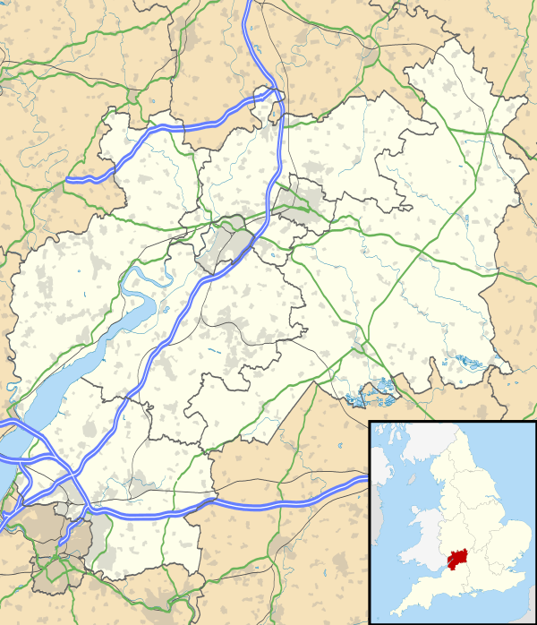
Gorsley is a small village in the Forest of Dean district of Gloucestershire, forming part of the civil parish of Gorsley and Kilcot in the South West of England.[1] Nearby Gorsley Common and Little Gorsley are both in Herefordshire.
Location and amenities
Gorsley is 4.7 km (2.9 mi) west of Newent,[2] 10 km (6.2 mi) east of Ross-on-Wye[3] and about 19 km (12 mi) south of Ledbury.[4] The village is near junction 3 of the M50, one of the first motorways built in Britain in 1960. The slip roads on the junction end in right angled turns which often surprise motorists used to the more gradual, modern junction designs.
The Anglican church parish is combined with Cliffords Mesne.[5][6] A stone Baptist chapel opened in 1852.[7]
A Primary School (named Gorsley Goffs) was constructed in the village by Edward Goff in the early 19th century. The School is now open and running.
Gorsley limestone is named for the area.[8] Stone from area quarries were used to build Victorian era buildings.[9] Victorian maps show a number of quarries and lime kilns in the area.
The village pub is The Roadmaker, originally named The New Inn. It is owned and run by four ex-British Army Ghurka soldiers.[10][11]
Gallery
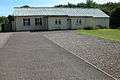 Gorsley Village Hall - September 2005
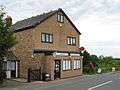 Gorsley Post Office
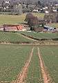 :View to Gorsley Common
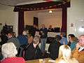 Quiz night in Gorsley Village Hall, 2008
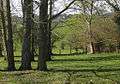 View to Linton ridge from Gorsley Common
References
- ↑ "Gorsley, Forest of Dean". Ordnance Survey. 22 June 2017.
- ↑ "Directions Gorsley to Newent". Google maps. 22 June 2017.
- ↑ "Directions Gorsley to Ross-on-Wye". Google maps. 22 June 2017.
- ↑ "Directions Gorsley to Ledbury". Google maps. 22 June 2017.
- ↑ "Gorsley with Clifford Mesne". A Church Near You. Retrieved 22 August 2011.
- ↑ "The District of Gorsley with Clifford's Mesne, in the Counties of Gloucester and Hereford and Diocese of Gloucester and Bristol". Appendix to the twenty-sixth (twenty-seventh, thirty-fifth-forty-seventh) report. Edward Stanford. 1874. p. 344.
- ↑ The Primitive Church Magazine. 1852. p. 296.
- ↑ Alfred M. Ziegler; R. B. Rickards; W. S. McKerrow (1 January 1974). Correlation of the Silurian Rocks of the British Isles. Geological Society of America. p. 46. ISBN 978-0-8137-2154-5.
- ↑ David Verey; Alan Brooks (2002). Gloucestershire: The Vale and the Forest of Dean. Yale University Press. p. 30. ISBN 978-0-300-09733-7.
- ↑ "The Roadmaker Inn". theroadmakerinn.co.uk.
- ↑ Lezli Rees. Walking the dog - Motorway walks for drivers and dogs. Veloce Publishing Ltd. p. 155. ISBN 978-1-84584-552-0.
External links
| Wikimedia Commons has media related to Gorsley. |
- The Gorsley Village web site
- BBC Hereford & Worcester - Gorsley Flower Festival photos
- Gorsley Chapel