Khatoed Gewog
| Khatoed Goenkaatoe | |
|---|---|
| Gewog | |
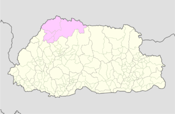 Location on map of Bhutan (Gasa highlighted) | |
| Coordinates: 27°50′N 89°38′E / 27.833°N 89.633°ECoordinates: 27°50′N 89°38′E / 27.833°N 89.633°E | |
| Country |
|
| District | Gasa District |
| Time zone | UTC+6 (BTT) |
Khatoed is a gewog (village block) of the Gasa dzongkhag (district) in Bhutan.[1] It was formerly known as Goenkaatoe.[2]
References
- ↑ "Gewogs and chiwogs in Gasa" (PDF). Election Commission, Government of Bhutan. 2011. Archived from the original (PDF) on 2 October 2011. Retrieved 28 July 2011.
- ↑ "Annual Dzongkhag Statistics 2010: Gasa" (PDF). National Statistics Bureau, Government of Bhutan. 2010. Archived from the original (PDF) on 25 August 2011. Retrieved 22 August 2011.
This article is issued from
Wikipedia.
The text is licensed under Creative Commons - Attribution - Sharealike.
Additional terms may apply for the media files.