Gmina Jabłoń
| Gmina Jabłoń Jabłoń Commune | ||
|---|---|---|
| Gmina | ||
| ||
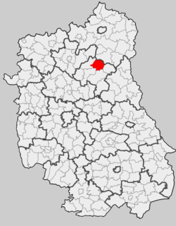 Location within the county and voivodeship | ||
| Coordinates (Jabłoń): 51°43′N 23°5′E / 51.717°N 23.083°ECoordinates: 51°43′N 23°5′E / 51.717°N 23.083°E | ||
| Country |
| |
| Voivodeship | Lublin | |
| County | Parczew | |
| Seat | Jabłoń | |
| Area | ||
| • Total | 110.98 km2 (42.85 sq mi) | |
| Population (2014[1]) | ||
| • Total | 3,928 | |
| • Density | 35/km2 (92/sq mi) | |
| Website | http://www.jablon.pl/ | |
Gmina Jabłoń is a rural gmina (administrative district) in Parczew County, Lublin Voivodeship, in eastern Poland. Its seat is the village of Jabłoń, which lies approximately 18 kilometres (11 mi) north-east of Parczew and 63 km (39 mi) north-east of the regional capital Lublin.
The gmina covers an area of 110.98 square kilometres (42.8 sq mi), and as of 2006 its total population is 4,177 (3,928 in 2014).
Neighbouring gminas
Gmina Jabłoń is bordered by the gminas of Dębowa Kłoda, Milanów, Parczew, Podedwórze and Wisznice.
Villages
The gmina contains the following villages having the status of sołectwo: Dawidy, Gęś, Holendernia, Jabłoń, Kalinka, Kolano, Kolano-Kolonia, Kudry, Łubno, Paszenki, Puchowa Góra and Wantopol.
References
| Seat |  | |
|---|---|---|
| Other villages | ||
| Seat |  | |
|---|---|---|
| Urban-rural gmina | ||
| Rural gminas | ||
This article is issued from
Wikipedia.
The text is licensed under Creative Commons - Attribution - Sharealike.
Additional terms may apply for the media files.