Glendene, New Zealand
| Glendene | |
|---|---|
 | |
| Basic information | |
| Local authority | Auckland Council |
| Electoral ward | Waitākere ward |
| Population | 12,189 (2006) |
| Surrounds | |
| North | Te Atatu South |
| Northeast | (Whau River) |
| East | Kelston |
| Southeast | New Lynn |
| South | Glen Eden |
| Southwest | Oratia |
| West | Sunnyvale |
| Northwest | Henderson |
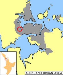
Glendene is a suburb of Auckland, New Zealand. It is under the local governance of the Auckland Council. Its population was 12,189 in the 2006 census, an increase of 816 from 2001.[1]
Glendene is a mainly residential suburb with the north-eastern portion devoted to light industry.
History
Glendene is named after a farm in the area owned by Percy Jones, which was later subdivided for housing.[2][3] Most of the development as a residential suburb occurred in the 1960s and 1970s.[4]
In April 2014, Glendene became a part of the new Kelston electorate.
The Glendene Community Hub was opened in March 2015 in response to Council studies that showed a need for community development in the area.
Education
Glendene Playcentre (birth - 6 years).
Local primary schools (years 1 - 6) are Glendene Schoo l (opened in 1965)[5] and Tirimoana School (opened in 1969).[6]
Arohanui School caters for students aged 5 to 21 years with learning disability.[7] Based in neighbouring Te Atatu South, the school includes students who attend other local schools such as Glendene school.
All schools are coeducational.
Nearby secondary schools are Henderson High School, Kelston Boys' High School, Kelston Girls' College, Liston College and St Dominic's College.
Notes
- ↑ The figures given combine the census populations for Glendene North (Quickstats about Glendene North), Glendene South (Quickstats about Glendene South) and Mcleod (Quickstats about Mcleod).
- ↑ Reed, Alexander Wyclif (1975). "Percy+Jones"&dq=Glendene+"Percy+Jones" Place names of New Zealand. p. 140. ISBN 0-589-00933-8.
- ↑ Discover New Zealand:A Wises Guide (9th ed.). 1994. p. 17.
- ↑ Stephen Hart, ed. (2008). Where to Live in Auckland. Barbican Publishing. p. 119. ISBN 978-0-473-14244-5.
- ↑ Glendene School
- ↑ Tirimoana School
- ↑ Arohanui School
External links
- Photographs of Glendene held in Auckland Libraries' heritage collections.
- Glendene Community Society
Coordinates: 36°53′22″S 174°39′13″E / 36.88944°S 174.65361°E