Gibson Lake (Peel Region)
| Gibson Lake | |
|---|---|
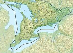 Gibson Lake Location in Southern Ontario | |
| Location | Greater Toronto Area, Ontario |
| Coordinates | 43°57′19″N 79°49′31″W / 43.95528°N 79.82528°WCoordinates: 43°57′19″N 79°49′31″W / 43.95528°N 79.82528°W[1] |
| Type | Lake |
| Part of | Endorheic basin |
| Basin countries | Canada |
| Max. length | 830 metres (2,723.1 ft) |
| Max. width | 340 metres (1,115.5 ft) |
| Surface elevation | 289 metres (948 ft)[2] |
Gibson Lake is an endorheic lake in the community of Palgrave, part of the town of Caledon, Regional Municipality of Peel in the Greater Toronto Area of Ontario, Canada.[1]
References
- 1 2 "Gibson Lake". Geographical Names Data Base. Natural Resources Canada. Retrieved 2014-12-11.
- ↑ Taken from Google Earth at geographic coordinates, accessed 2014-12-11.
Other map sources:
- Map 3 (PDF) (Map). 1 : 700,000. Official road map of Ontario. Ministry of Transportation of Ontario. 2014. Retrieved 2014-12-11.
- Restructured municipalities - Ontario map #6 (Map). Restructuring Maps of Ontario. Ontario Ministry of Municipal Affairs and Housing. 2006. Retrieved 2014-12-11.
This article is issued from
Wikipedia.
The text is licensed under Creative Commons - Attribution - Sharealike.
Additional terms may apply for the media files.