Germania Land
.jpg) Landscape of Germania Land in the summer. | |
 Germania Land | |
| Geography | |
|---|---|
| Location | East Greenland |
| Coordinates | 77°10′N 20°00′W / 77.167°N 20.000°WCoordinates: 77°10′N 20°00′W / 77.167°N 20.000°W |
| Adjacent bodies of water | |
| Length | 88 km (54.7 mi) |
| Width | 54 km (33.6 mi) |
| Highest elevation | 975 m (3,199 ft) |
| Administration | |
|
Greenland (Denmark) | |
| Zone | NE Greenland National Park |
| Demographics | |
| Population | 8 |
Germania Land or Germanialand is a peninsula in northeastern Greenland. Despite the high latitude it is largely unglaciated.
History
This peninsula was named by Ludvig Mylius-Erichsen, leader of the Danmark expedition, to commemorate its survey by the Second German North Polar Expedition led by Carl Koldewey in 1869 on the vessel Germania and as a compliment to Alfred Wegener, the German member of the Danmark expedition.
In central Germania Land there is a cairn erected by the members of the Second German North Polar Expedition on 15 April 1870 in order to mark the farthest northern point they reached.[1]
Geography
Germania Land is located in King Frederick VIII Land, in the Northeast Greenland National Park, between the Skaerfjord and Dove Bay. Store Koldewey island lies south of the southeastern point of the peninsula.[2] The Musk Ox Mountains (Moskusoksefjeldene) are a hill range located east of Hvalrosodden, a small peninsula.[1]
The Danmarkshavn weather station is on the southern shore of the Germania Land Peninsula.[3] It was named by the 1906–08 Danmark Expedition after 'Danmark', the ship of the expedition which wintered there.[1]
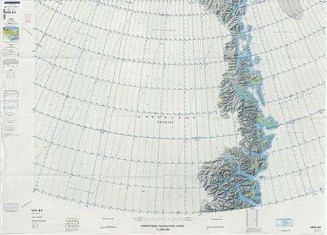 Map of Northeastern Greenland. |
_(19129294053).jpg) View of a slope with Dryas near Snenæs. From: Some Notes concerning the Vegetation of Germania Land |
,
Bibliography
- Koldewey, Carl (1874) German Arctic Expedition of 1869-70, and Narrative of the Wreck of the 'Hansa' in the Ice, London: Sampson Low, Marston, Low, & Searle
References
- 1 2 3 "Catalogue of place names in northern East Greenland". Geological Survey of Denmark. Retrieved 21 April 2016.
- ↑ "Germania Land". Mapcarta. Retrieved 24 April 2016.
- ↑ Danmarkshavn
External links
