Geibikei
| Geibi Gorge (猊鼻渓) | |
| Protected Area | |
.jpg) typical panorama at Geibikei | |
| Country | Japan |
|---|---|
| Prefecture | Iwate Prefecture |
| City | Ichinoseki |
| Coordinates | 38°59′24″N 141°15′4″E / 38.99000°N 141.25111°ECoordinates: 38°59′24″N 141°15′4″E / 38.99000°N 141.25111°E |
| IUCN category | III - Natural Monument |
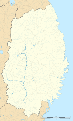 Location of Geibikei  Geibikei (Japan) | |
Geibi Gorge (猊鼻渓 Geibikei) is a nationally designated Place of Scenic Beauty in Ichinoseki, Iwate Prefecture, Japan.[1][2] In 1927 it was selected as one of the 100 Landscapes of Japan.[3]
Geibi Gorge is a 2 kilometer long gorge formed by the Satetsu River, surrounded by soaring cliffs of over 50 meters in height, and peaking at 124 meters. The name “Geibi,” which means “lion nose,” comes from a limestone formation near the end of the gorge which resembles a lion's snout. The gorge is a famous sightseeing spot in the south of Iwate Prefecture and is noted for its 90-minute boat trip up and back down the river pushed along with a pole by boatmen or women, who sing on the return leg of the journey.
Covered in snow in winter, purple wisteria in May, a lush green throughout summer, and bright yellows, oranges and reds in autumn, each season has its own highlights. Geibi Gorge is a short walk from Geibikei Station on the JR East Ofunato Line.
See also
| Wikimedia Commons has media related to Geibikei. |
References
- ↑ "猊鼻渓". Agency for Cultural Affairs. Retrieved 10 February 2012.
- ↑ "Geibikei". Ichinoseki City. Archived from the original on 19 February 2012. Retrieved 10 February 2012.
- ↑ "日本八景(昭和2年)の選定内容" (PDF). Ministry of the Environment. Retrieved 10 February 2012.