Gazey Nunatak
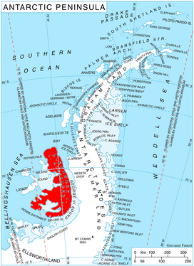
Location of Alexander Island in the Antarctic Peninsula region
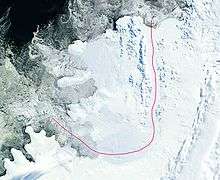
Satellite image of Alexander Island
Gazey Nunatak (Bulgarian: нунатак Газей, ‘Nunatak Gazey’ \'nu-na-tak ga-'zey\) is the partly ice-covered ridge extending 2.9 km in north-south direction and 830 m wide, rising to 1500 m in Coulter Glacier, Havre Mountains in northern Alexander Island, Antarctica. The feature is named after Gazey Peak in Pirin Mountains, Bulgaria.
Location
Gazey Nunatak is located at 69°18′58″S 71°50′28″W / 69.31611°S 71.84111°WCoordinates: 69°18′58″S 71°50′28″W / 69.31611°S 71.84111°W, which is 5.26 km northeast of Goleminov Point, 6.15 km south-southeast of Simon Peak, 14.5 km southwest of Mount Pontida and 8 km north of Dint Island.
Maps
- British Antarctic Territory. Scale 1:200000 topographic map. DOS 610 – W 69 70. Tolworth, UK, 1971
- Antarctic Digital Database (ADD). Scale 1:250000 topographic map of Antarctica. Scientific Committee on Antarctic Research (SCAR). Since 1993, regularly upgraded and updated
References
- Bulgarian Antarctic Gazetteer. Antarctic Place-names Commission. (details in Bulgarian, basic data in English)
- Gazey Nunatak. SCAR Composite Gazetteer of Antarctica
This article includes information from the Antarctic Place-names Commission of Bulgaria which is used with permission.
This article is issued from
Wikipedia.
The text is licensed under Creative Commons - Attribution - Sharealike.
Additional terms may apply for the media files.