Gauribidanur
| Gauribidanuru | |
|---|---|
| city | |
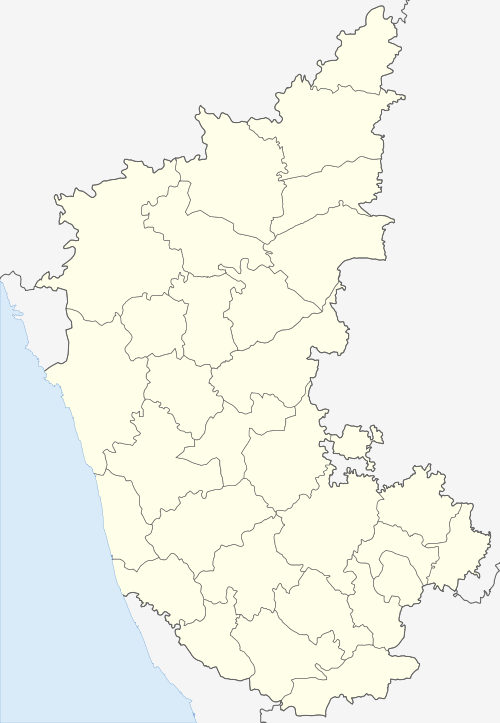
 Gauribidanuru Location in Karnataka, India | |
| Coordinates: 13°36′40″N 77°31′00″E / 13.61111°N 77.51667°ECoordinates: 13°36′40″N 77°31′00″E / 13.61111°N 77.51667°E | |
| Country |
|
| State | Karnataka |
| District | Chikballapur |
| Elevation | 694 m (2,277 ft) |
| Population (2011) | |
| • Total | 80,673 |
| Languages | |
| • Official | Kannada |
| Time zone | UTC+5:30 (IST) |
| PIN | 561208 |
| Vehicle registration | KA 40 |
| Lok Sabha constituency | Chikballapur (Lok Sabha constituency) |
| Website | http://www.gowribidanurtown.mrc.gov.in/ |
Gauribidanur is a historical town in Kolar district, now a part of Chikballapur district in the South Indian state of Karnataka. It is about 75 km from Bangalore, and 25 km from the education hub of Muddenahalli-Kanivenarayanapura. Along with the native language of Kannada, the other languages of Telugu and Urdu are spoken since the town borders the neighbouring state of Andhra Pradesh.[1]
History
The name Gauribidanur is derived from Gowri (a Hindu goddess) and Bidanur. Some other sources indicate the name Gauribidanur could have originated from the terms ghori (grave) and bidanur (a common name for towns in the old Mysore state). It has been said that Tipu Sultan had some of his soldiers buried here. A mosque built by him stands with some old graves.
Vidurashwatha an important pilgrim centre which is 6 km from Gauribidanur, is also in this taluk. This place is also known as the second Jallianwallahbagh or Karnataka's Jallianwallahbagh of Indian freedom struggle, as there was a police firing on a peaceful congregation of people on the river banks of Uttara Pinakini where many died. Viduraswatha is the last railway station before entering Andhra Pradesh in the Bangalore-Hyderabad railway line. It lies on the National Highway 234 (Mangalore-Villupuram).[2]
Geography
Gauribidanur is at 13°37′N 77°31′E / 13.61°N 77.52°E.[3] It has an average elevation of 694 metres (2276 feet).
Demographics
As of 2011 India census,[4] Gauribidanur had a population of 80,673. Males constitute 51% of the population and females 49%. Gauribidanur has an average literacy rate of 72%, higher than the national average of 59.5%: male literacy is 77%, and female literacy is 67%. In Gauribidanur, 11% of the population is under 6 years of age.
Assembly constituency
Gauribidanur is an assembly constituency in Chikkaballapur dist.
Notable people
- Hosur Narasimhaiah - a physicist, educator, freedom fighter and rationalist.
Sri. N.C. Nagaiah Reddy, from H. Nagasandra village near Vidurashwatha was a freedom fighter. He was imprisoned by the British and lodged in Central Prison Bangalore and Bellary prison during the Indian Freedom Struggle. He was later elected as M.L.A. from the Gowribidanur constituency. He contested for the post of Mysore State Congress President and lost to Sri. S. Nijalingappa who later became Chief Minister of Mysore.
References
- ↑ http://www.gowribidanurtown.mrc.gov.in/
- ↑ http://www.gowribidanurtown.gov.in/sites/gowribidanurtown.gov.in/files/vidhurashwatha.pdf
- ↑ Falling Rain Genomics, Inc - Gauribidanur
- ↑ "Census of India 2001: Data from the 2001 Census, including cities, villages and towns (Provisional)". Census Commission of India. Archived from the original on 2004-06-16. Retrieved 2008-11-01.
External links
| Wikimedia Commons has media related to Gauribidanur. |